
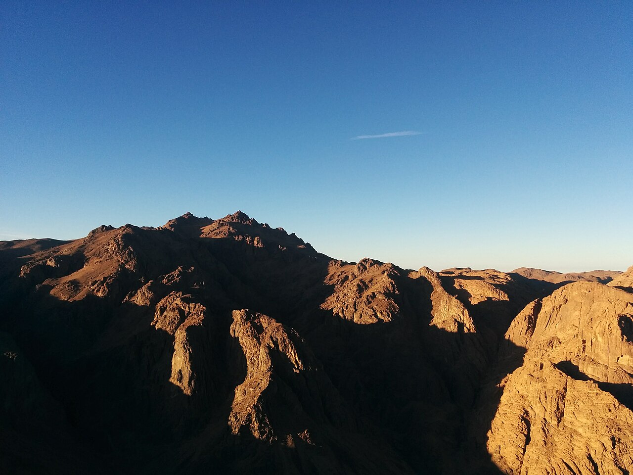
Geology and Landform
The southern Sinai highlands expose ancient igneous rock at the surface, the result of prolonged erosion of these regional formations. Mount Catherine rises to 2,629 metres, as recorded in plant ecology research conducted in the southern Sinai highlands. The town of Saint Catherine sits at approximately 1,600 metres according to the Egyptian State Information Service, placing the summit roughly a kilometre above the settlement. The State Information Service notes that winters in the high massif bring cool temperatures and occasional snow.
Mount Sinai and the 2002 UNESCO Inscription
Mount Sinai, also called Jebel Musa, and Saint Catherine Monastery at its base are the focal features of the UNESCO-inscribed Saint Catherine Area, designated in 2002. The inscription recognises the monastery and Jebel Musa for their religious and historical significance across Judaism, Christianity, and Islam. Mount Catherine lies within the same high massif as these sites.
Flora, Fauna, and Bedouin Conservation
The Egyptian Environmental Affairs Agency documents the Saint Katherine Protectorate as supporting Sinai-endemic plant species and the Nubian ibex. The plant ecology research that recorded the 2,629-metre elevation for Mount Catherine examined this same highland flora. Local Bedouin communities are recorded by the Egyptian Environmental Affairs Agency as participants in conservation and guiding within the protectorate.