
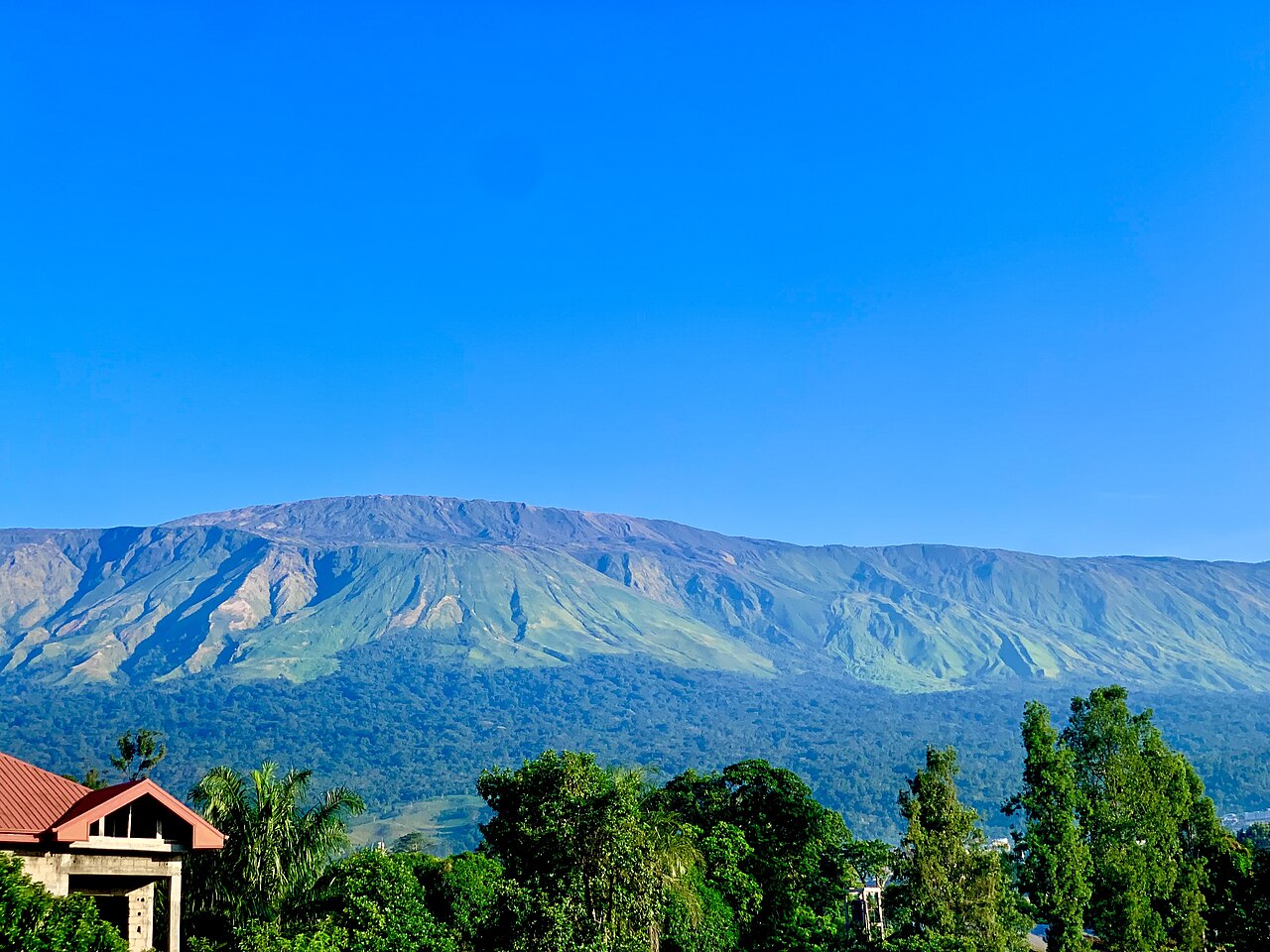
Eruptions That Reached the Coast and the Road
The eruptive record of Mount Cameroon is well documented because its flanks are inhabited and its flows have interacted with human infrastructure at the coast. In 1922, lava from the volcano reached the Atlantic Ocean. The 1999 eruption produced flows that crossed the Limbé–Idenau road before halting approximately 200 metres short of the coastline.
The 2000 eruption added further geographic specificity to the record, with activity concentrated on the upper southeast flank of the volcano above the town of Buea. These events trace a pattern of eruptions originating at different positions on the mountain and travelling different distances across a landscape that is simultaneously coastal, densely vegetated at lower elevations, and steep in its upper reaches. The Smithsonian Global Volcanism Program identifies the flanks as carrying many small cinder cones, features that mark the sites of past eruptive vents and contribute to the irregular topography of the massif.
Climate and Vegetation Across the Massif
The Mount Cameroon National Park and Key Biodiversity Areas documentation record a wetter western flank and a drier Buea side, reflecting the massif's position relative to Atlantic moisture. This rainfall difference produces distinct vegetation bands across the mountain's flanks.
Dense rainforest covers the lower elevations, grading into montane forest as altitude increases, with open grassland communities occupying the higher slopes above the treeline. The Key Biodiversity Areas documentation treats this stratification — shaped by the interplay of altitude, moisture, and aspect — as a defining property of the massif as a whole.
The Summit, the Satellite, and the Massif
The summit of Mount Cameroon is designated Fako, the name used in the mountain's catalog identity, while the broader massif carries the name used in both volcanic and geographic literature. Etinde, the satellite peak on the volcano's southwest side, is a distinct landform within the same volcanic complex. The Smithsonian Global Volcanism Program attributes a summit elevation of 4,095 metres to the peak, which extends from sea level across a coastal landscape of inhabited lower flanks and steep upper slopes.