
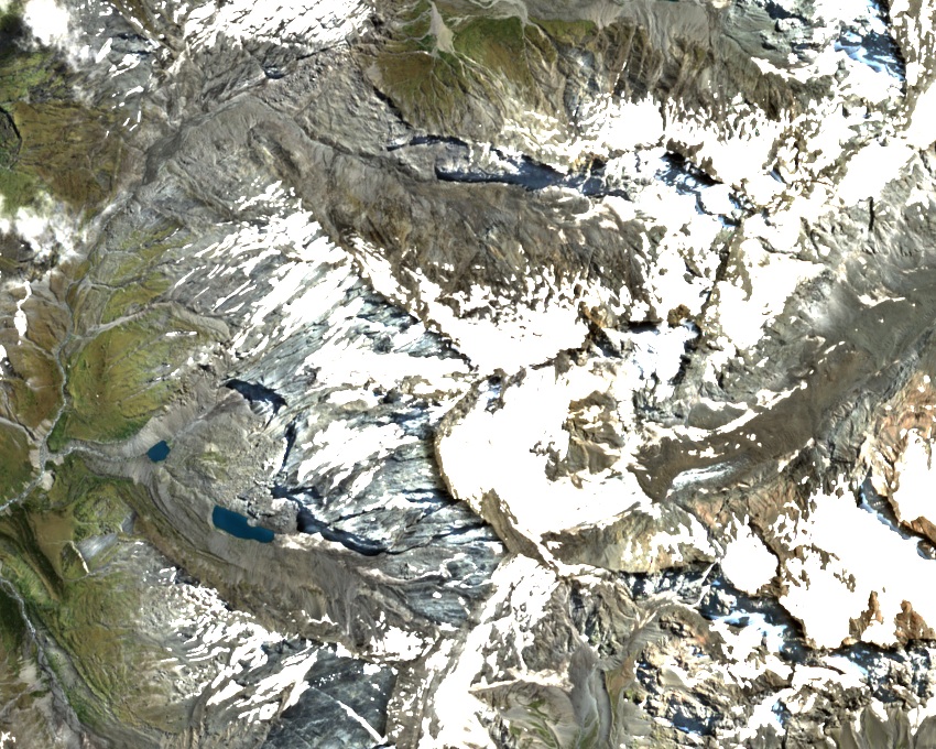
A ridge between glaciers
The Welchman Glacier clings to the south side of the summit. Further north, the McKerrow Glacier feeds the Landsborough River. In 1887, the survey party working in that watershed described deep cuts in the ridge slopes between Mount Burns and Mount Marshman, where landslides and avalanches had carried material downhill.
Across the divide in 1909
On 8 March 1909, a party set out from the upper Mueller Glacier to take photographs and make glacial observations. They crossed a notch between Mount Burns and Dwarf Peak into the Westland glacier basins. The expedition report describes looking across at the Douglas Glacier, where towers of ice broke away above rock cliffs.
Turner and Graham on the summit
Peter Graham’s report to Parliament records that he and Samuel Turner reached the summit on 23 March 1914. Turner recalled that bad weather had stopped their first attempt and that they returned to the same bivouac above the Mueller Glacier. They gained the Main Divide near Bernard Pass and followed the ridge to the top. Later that day they climbed neighbouring Vampire Peak.