
Position Among the Northern Tanzania Volcanic Cones
Burko is one of a series of old volcanic cones mapped across northern Tanzania. On the regional geological map it lies west of Monduli and north of Essimingor.
Radiometric Age of Volcanic Material
A potassium–argon date obtained from volcanic material at Burko yielded a result of 0.97 ± 0.03 million years, as reported by Dawson (1992) and compiled by the Smithsonian Global Volcanism Program. The date records the age of the sampled volcanic material. The timing of the last eruption remains uncertain.
The Burko Territorial Forest Reserve
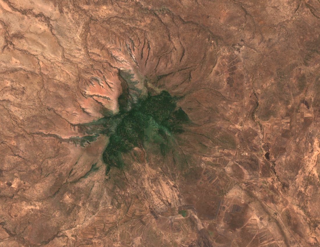
Tanzania's Forests Act subsidiary legislation records the Burko Territorial Forest Reserve west of Arusha at approximately 1,432 acres, with a surveyed boundary line of numbered beacons marking the lower forest edge. A 1961 forest reserves notice named Burko specifically in connection with honey and beeswax. A Sentinel-2 true-colour image from 14 September 2024 shows a wooded central zone surrounded by drier flanks across the cone's lower slopes.