
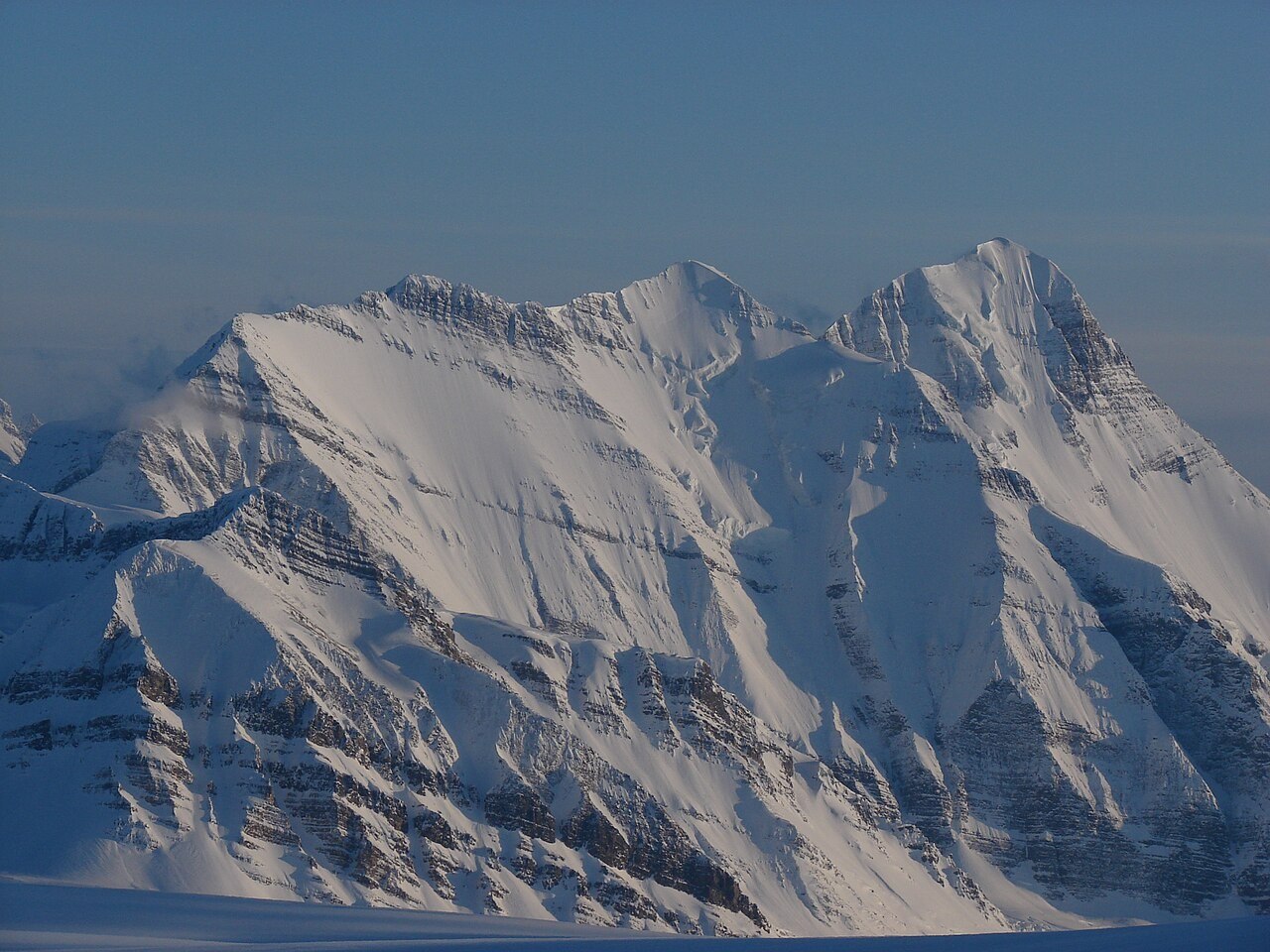
Naming and Recognition
J. Norman Collie named the peak in 1898 to honour James Bryce, a British statesman who held Viscount rank and served as president of the Alpine Club in London. The naming recognised Bryce's standing in both public life and organised mountaineering.
First Ascent
The first recorded ascent was made in 1902 by James Outram, with Christian Kaufmann serving as guide. Outram and Kaufmann were active together across the Canadian Rockies during this period, and their climb of Bryce is the earliest documented summit of the peak.
Geography and Setting
Mount Bryce lies in the Bush River Valley between Bryce Creek and Rice Brook, approximately three kilometres west of Thompson Pass. Its drainage feeds into the Columbia River system, and the peak sits entirely within British Columbia.