
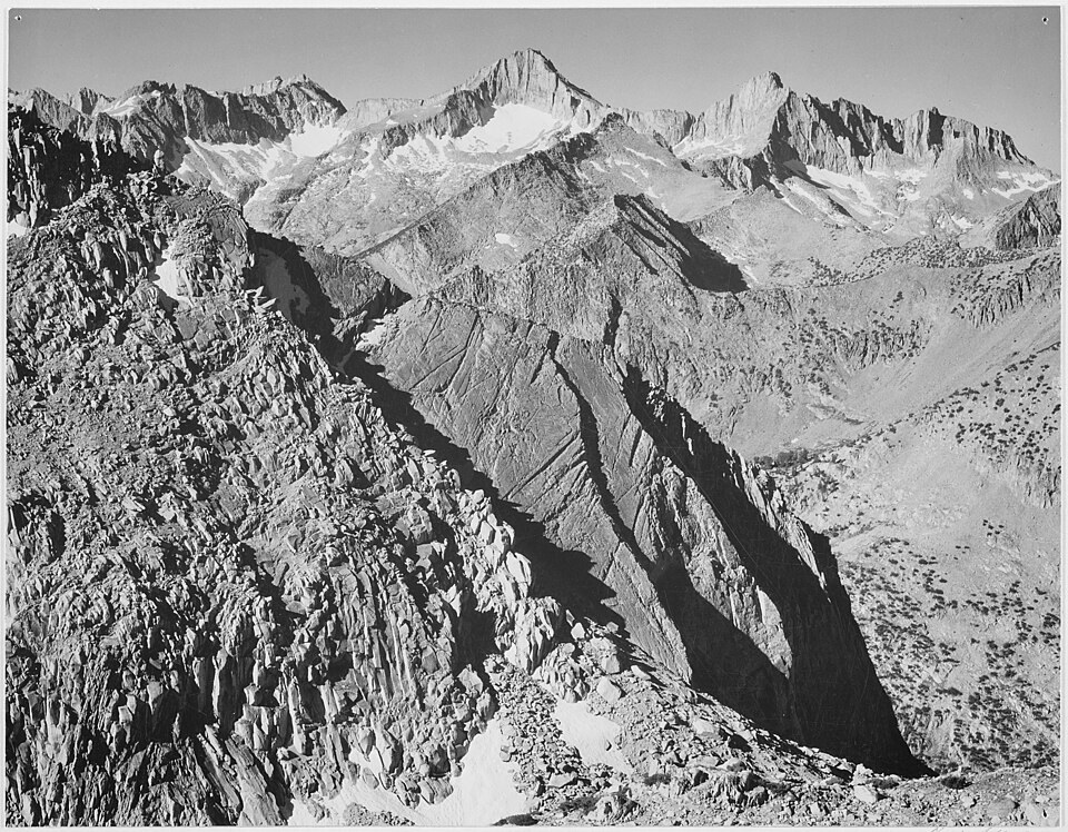
Local Geography
The peak stands on the Great Western Divide, the ridge whose southern reaches separate the Kings and Kaweah drainages from the Kern River system. Its slopes drain into the Roaring River and Bubbs Creek within the Kings Canyon region. The elevation figure comes from the Sierra Peaks Section tabulation.
The California Geological Survey Ascent
On July 2, 1864, botanist William H. Brewer and topographer Charles F. Hoffmann climbed the peak during the California Geological Survey. Brewer's journals and letters record the expedition and the party's observations of the surrounding high country. The mountain was named for Brewer.
A Summit Record and Its Discovery
The survey party left a written record on the summit in 1864. It was found there in 1896, and an edition of Brewer's journal reproduces it. The nineteenth-century record of ascent and the modern topographic designation represent distinct layers of documentation.