
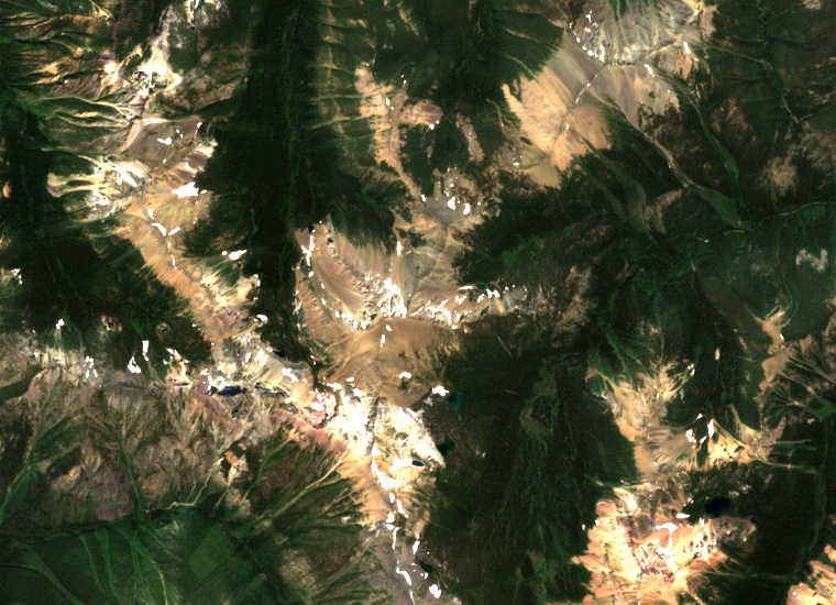
A break between two layers
Mount Brewer rises to 2,812 metres between Toby and Dutch creeks, southwest of Invermere. In 2013 geologist Kevin Root described a mix of fine sediment and large boulders in the Toby Formation on its slopes. The jumble, called diamictite, lies on an eroded layer of white quartzite. That surface marks a gap in the local record, during which older strata were worn down before the younger debris accumulated.
The scratches in the stone
Some pebbles and boulders have flattened faces and scratches that suggest they were moved by ice. Root also reported faults nearby that show the ground was pulling apart while the deposits formed. These clues connect the local outcrop to a wider debate about whether similar rocks formed during near-global glaciation or in rift basins fed in part by local glaciers as the supercontinent Rodinia broke apart.
The 1917 name
On 31 March 1917 the Geographic Board of Canada adopted the name Mount Brewer for the Windermere map sheet. It honors Samuel Brewer, a miner and ranch manager who managed the Fairmont Hot Springs Hotel from 1886 to 1908.
A chipmunk of the high country
A 2002 report from the Royal British Columbia Museum and its partners recorded the selkirki subspecies of the least chipmunk on Mount Brewer. Near Brewer Pass the researchers found it using low shrubs for cover. The provincial conservation record identifies the mountain as one of the few known alpine and subalpine areas in the Purcell Mountains inhabited by this subspecies.