
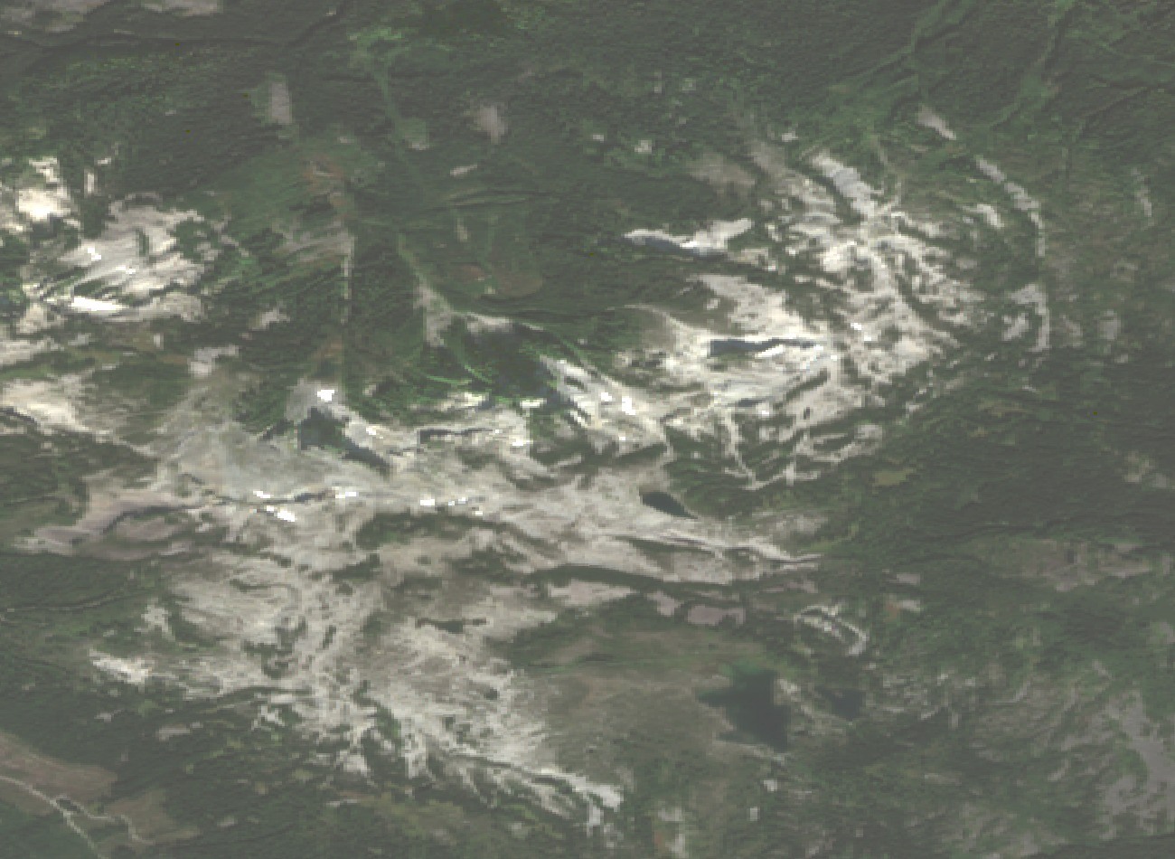
Glaciovolcanic Structure
The Geological Survey of Canada places Mount Brew within the Garibaldi volcanic belt of southwestern British Columbia. Research identifies a subglacial dome formed through Quaternary volcanic activity interacting with ice.
Survey and Naming
The mountain appears on a 1930 plan and was recorded in the Canadian Alpine Journal in 1931. The BC Geographical Names office notes the name may originate with A. J. Campbell, who surveyed the Cheakamus watershed in 1928.
The Brew Hut
The UBC Varsity Outdoor Club built the first Brew Hut in 1982 at the outlet of a small lake, but snow creep damaged that site. The club rebuilt on the ridge in 1984; at that location, snow accumulated around the trees framing the structure. After monitoring identified a less snow-prone site, a third hut opened in 2005 on a col south of the mapped summit, where it stands today.