
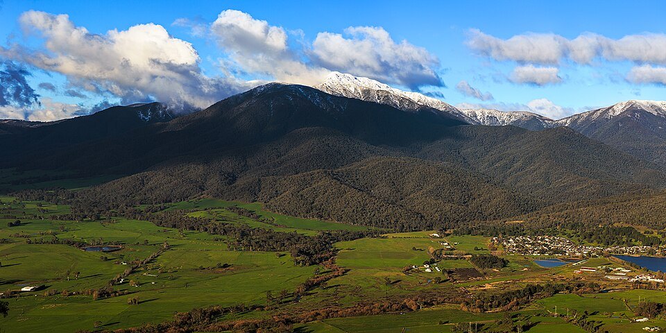
Massif and Neighbouring Terrain
The mountain forms a distinct massif separated from the Bogong High Plains to the south by the Big River valley. Mount Beauty lies approximately 12 kilometres away in direct line, or around 30 kilometres by road and walking track. The Falls Creek and Mount Hotham ski resorts are situated nearby. The relationship between the massif and the High Plains — divided by the Big River valley — gives the mountain a geographical definition that sets it apart from the broader plateau country of the Victorian Alps.
Snow covers the mountain through mid-winter into spring, and the summit area carries snow for a limited seasonal window. The summit ridgeline is characterised in the reporting as very exposed and prone to dangerous sudden weather changes, a marked contrast to the relatively sheltered terrain below the treeline.
Spurs, Routes, and Named Huts
Several named spurs define the mountain's approach terrain and are referenced in relation to the emergency shelters that mark the high routes. Bivouac Hut sits on the Staircase Spur. Cleve Cole Hut is located above Camp Creek on the broad ridge running to the south of the summit. Michell's Hut stands on the Eskdale Spur. These named features — spurs and huts together — form a spatial framework that reflects decades of use of the mountain's ridgelines by those travelling in winter and alpine conditions.
Name and Language of Origin
According to Victorian geographical naming records, the name Bogong derives from the Waywurru and Dhudhuroa languages — both Australian Indigenous languages of the region. The date of first formal recording is listed as not recorded in the historical information held by VICNAMES, though the name's Indigenous origin is documented. The mountain sits within Alpine Shire at coordinates 36°43′56″S, 147°18′21″E as listed in the VICMAP Standard Topographical Map Series.