
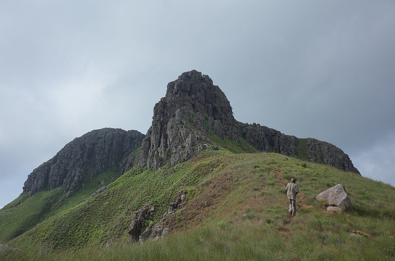
Vegetation Zones and Forest Transition
The Loma Mountains support Guinea–Congo lowland forest and montane evergreen forest up to approximately 1,680 metres, where tree cover gives way to open plateau grassland near the upper slopes. The Key Biodiversity Areas field profile identifies this transition as one of the range's defining ecological features, with the forest belt sustaining conditions that differ markedly from the exposed summit plateau.
Headwaters of the Sewa and Rokel Rivers
Rainfall captured across the Loma Mountains drains into the headwater catchments of both the Sewa and Rokel river systems. The British Geological Survey's Sierra Leone terrain and hydrogeology documentation traces this runoff as a hydrological contribution from the range, connecting Bintumani's upland geography to lowland water resources used across the country.
Recorded Fauna and Conservation Framework
A May 1963 expedition by ENS–IFAN researchers in the Loma Mountains yielded type specimens of the earwig Anisolabis bintumanensis, formally described by Brindle in 1971 and catalogued in the Manchester Museum. A 2009 Loma biodiversity study, summarised in the World Bank's Loma Mountains National Park management framework, informed a conservation programme linked to mitigation measures associated with the Bumbuna Hydroelectric Project.