
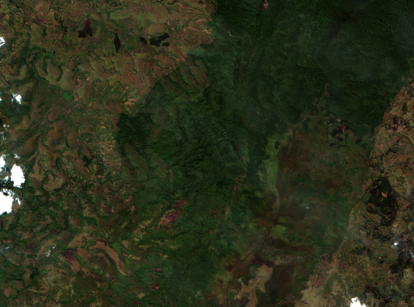
Montane Forest and Altitudinal Vegetation Change
The upper slopes of Biega support montane forest characteristic of the eastern high sector, where cooler temperatures and higher rainfall shape a canopy distinct from the lowland forest to the west. As elevation falls, the forest composition shifts progressively, reflecting the moisture gradients and soil conditions that differ markedly between the highland interior and the lower western zones of the park.
The 1975 Enlargement and the Corridor Linking Two Sectors
Kahuzi-Biega National Park was enlarged in 1975 to bring the upland and lowland zones under unified protection. A corridor approximately 7.4 km wide, as recorded by the park authority, connects the eastern high sector containing Biega to the western lowland sector. The Luka and Lugulu rivers cross the western forests within this lowland zone.
Grauer's Gorilla and the Ecology of a Connected Reserve
Kahuzi-Biega is a stronghold for Grauer's gorilla, a species dependent on the ecological range that the unified park provides. The 1975 boundary expansion, by protecting both montane and lowland habitat in a single designation, addressed the movement requirements of a population that uses varying forest types across the park's elevation gradient rather than a single zone.