
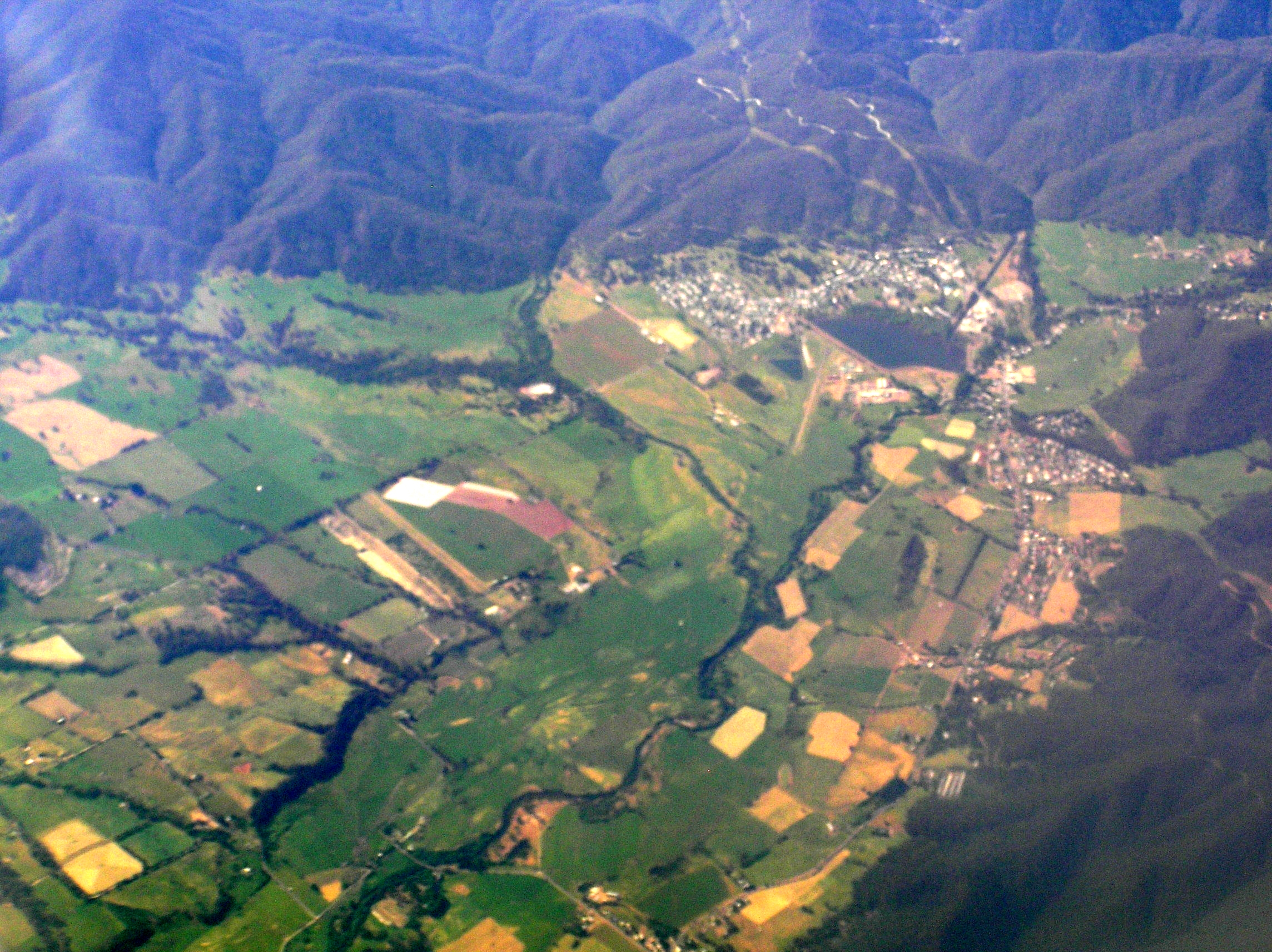
Where the foothills meet the valley
The headwaters of the Kiewa River lie on the Bogong High Plains. The river’s east and west branches descend through steep valleys. Around Mount Beauty, the valley floor opens into river flats that meet the slopes of the foothills. The wooded spur rises at this boundary.
How the spur named a town
Victorian Places, a historical gazetteer, records that an early settler gave the spur the name Mount Beauty. The township below was later named after it.
The hydroelectric settlement
In 1946 the State Electricity Commission began building the township for workers and families employed on the Kiewa hydroelectric scheme. The first houses, built of weatherboard, stood along Beauty Avenue. The project linked reservoirs and power stations in the valley and the high plains.
Photographs held by the Kiewa Valley Historical Society show the young settlement in 1947 and 1948, when houses and work camps were spreading across the open river flats.