
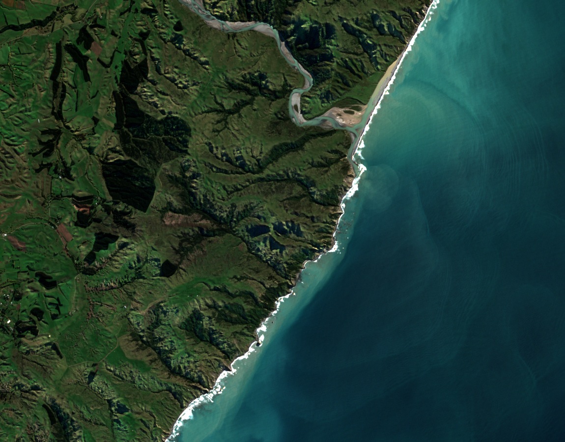
Landform and Coastal Setting
The hill rises between the pasture of the Cheviot district and cliffs above the Pacific. A University of Canterbury study traced uplifted coastal terraces across the Conway Coast and described how faults shape the nearby Hawkswood Range.
The 2016 Kaikōura earthquake left a documented mark on the broader corridor. WSP’s field assessment recorded damage to constructed fill slopes and embankments along the nearby Hawkswood–Ferniehurst road corridor, with effects noted on alluvial terraces and gullies in that zone.
The Jurassic Fossil Record
The geological significance of the hill was established in stages. During the 1933–34 Amuri–Kaikōura survey, geologists J. Marwick and H. E. Fyfe recorded stone blocks bearing marine bivalves east of survey mark Trig Sub. E, Mount Beautiful. The blocks were noted but their stratigraphic origin remained uncertain. In August 1957, J. D. Campbell relocated fossil-bearing concretions within the mudstone between the hill and the coast.
In 1958, C. A. Fleming of the New Zealand Geological Survey described the source bed and its Upper Jurassic fossils, including bivalves in the genus Buchia. Loose boulders can be hard to place in a sequence of layers. Finding the shells still embedded in the mudstone let the survey date that part of the coastal sequence.
Land Use and Regional Identity
In 2004, the first vines were planted at a vineyard in the nearby Cheviot–Spotswood basin. The vineyard took its name from Mount Beautiful, on the coastal ridge to its east.
The satellite image places the hill between the Pacific and the patterned grazing country inland. At the upper right, the Waiau Uwha River winds past the foot of the coastal hills and enters the sea.