
Summit and Protected Upland Forest
Tabanan regency documents place the summit at 2,276 metres within protected upland forest that defines the character of the upper slopes. Dense vegetation covers the northern interior terrain, and the mountain's position as Tabanan's highest recorded point makes it the principal landform of the district's mountainous interior.
Pura Luhur Batukaru and the Dewata Nawa Sanga
On the slope of Batukaru in the village of Wongaya Gede stands Pura Luhur Batukaru. Bali Province identifies it as the western directional temple in the Dewata Nawa Sanga, the nine-direction cosmological arrangement central to Balinese Hinduism, and associates it with the deity Mahadewa. No founding date has been established in the documentary sources.
Jatiluwih Rice Terraces and the Subak System
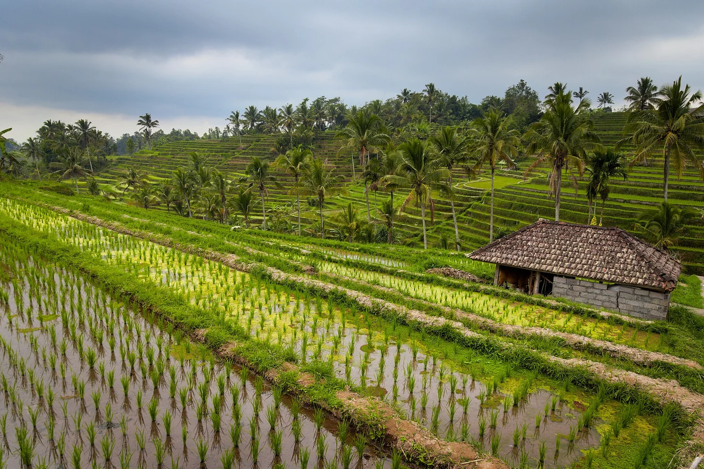
The Jatiluwih rice terraces extend across the Batukaru foothills as part of the Catur Angga Batukaru component of the Cultural Landscape of Bali Province, inscribed on the UNESCO World Heritage List in 2012. The subak system documented by Bali Province allocates irrigation water through canals and water temples that govern both the distribution of flows and the ritual planting cycle.