
A Name and Its Context
The dual identity of Mount Bartle Frere — Choorechillum in Ngajanji, Bartle Frere in the colonial record — reflects the layered histories that meet on this peak. The English pronunciation is rendered as BAR-təl FREHR. Dalrymple's 1873 naming took place within the broader project of European geographical survey in Queensland, and the choice of Frere linked the mountain to one of the more consequential figures of late Victorian imperial administration. Its immediate neighbour, Mount Bellenden Ker, holds Queensland's second-highest elevation at 1,593 metres.
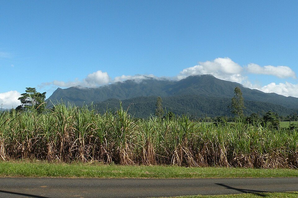
Rainforest from Foothill to Summit
What distinguishes Mount Bartle Frere's vertical profile is the unbroken rainforest cover that extends from the foothills to the summit without a gap in tree line. The character of that forest shifts with altitude: typical tropical rainforest occupies the lower elevations, while the cooler summit zone supports low cloud forest, where temperatures can run up to 10 degrees Celsius below those recorded on the coast. This gradient from tropical canopy to cloud-shrouded summit forest gives the mountain an ecological range compressed into a relatively modest elevation gain.
Christie Palmerston and the First European Ascent
The first documented European to reach the summit was Christie Palmerston, who made the ascent in 1886. Palmerston marked his achievement in a direct and durable way: he blazed a tree at the summit with the inscription "'P' October 26, '86." That carved date — October 26, 1886 — remains the fixed point from which the mountain's European climbing history is measured. The view from the summit, once the cloud forest is cleared, is described as offering an expansive prospect of the surrounding landscape.