
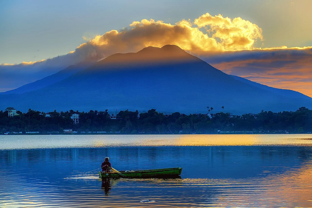
Geological Record and Eruptive History
The GVP documents Banahaw's summit crater, satellite cones, and volcanic deposits as its defining landforms. A former summit lake drained in 1730, generating mudflows recorded by the GVP. Subsequent mudflows on the flanks are documented and may connect to explosive activity; the GVP does not confirm them as independently verified eruptions, and the volcano's eruptive history remains uncertain.
Three Summits and Protected Watershed
Banahaw anchors a cluster of three distinct volcanic peaks. Republic Act 9847, enacted in 2009, established the Banahaw–San Cristobal Protected Landscape, pairing Banahaw with San Cristobal and formally recognising both mountains' watershed function for river systems draining into Laguna and Quezon.
Sacred Sites and Pilgrimage Communities
The Municipality of Sariaya recognises Banahaw as bundok dambana, sacred mountain. Religious communities centred around Dolores, Quezon, associate specific caves and waterfalls on the mountain with pilgrimage practice. These beliefs are attributed to those communities and reflect traditions developed across generations within their own devotional frameworks.