
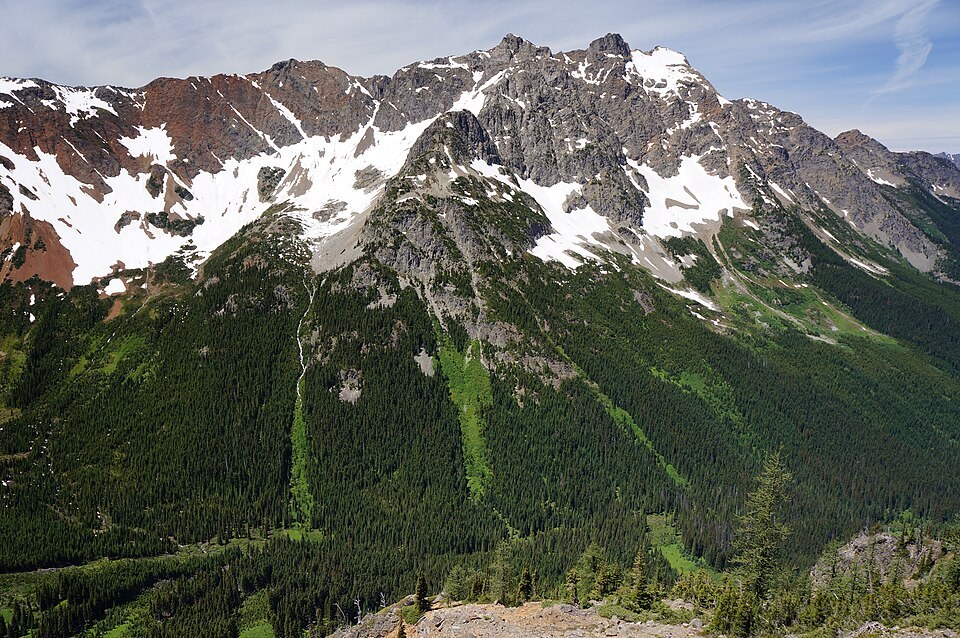
Volcanic Breccia and Regional Geology
The Washington Geological Survey's state map identifies a volcanic breccia formation named for Mount Ballard and relates it to the Virginian Ridge Formation. Breccia is defined by angular rock fragments cemented together, preserving material from ancient volcanic episodes. State geological maps distinguish this ancient volcanic material from the processes that shaped the present mountain, and Mount Ballard is not classified as a volcanic cone.
Mining History in the Surrounding Range
A 1936 cross-section preserved in the Washington Geological Survey archive documents the nearby Azurite Mine deposit. That mine is a separate location from the Ballard summit itself, and its archive represents regional land-use history rather than any extraction on the peak. No direct primary source has been identified establishing a definitive namesake for the mountain.
Position on the North Cascades Crest
Mount Ballard's double-summit form is a distinguishing visual characteristic when seen from the Grasshopper Pass vicinity along the Pacific Crest Trail. Azurite Peak, though adjacent and slightly higher, is a distinct summit. Together the two peaks define a prominent section of the eastern Whatcom County skyline within the broader North Cascades landscape.