
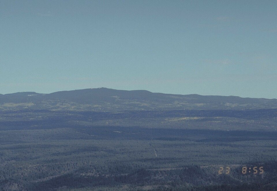
Baldy Peak and the Volcanic Massif
The mountain's highest feature is Baldy Peak, recorded in a cooperative research report produced jointly by the United States Geological Survey and the White Mountain Apache Tribe. The Geographic Names Information System places the mapped high-point pin at Baldy Peak. Mount Baldy itself is a large massif, and Baldy Peak marks the culminating point of that broader volcanic structure.
Eruptive History and Glacial Landforms
The USGS–Tribe research report dates most eruptions to roughly nine to two million years ago. The eruptive period included explosive events that deposited ash, and ash-rich mudflows carried material downslope. Ice Age glaciers later modified portions of the mountain, and an earlier USGS geological study mapped both lava and glacial drift across its slopes.
Watershed and Cooperative Research
The cooperative study between the USGS and the White Mountain Apache Tribe examined Mount Baldy's terrain within the broader White Mountains watershed and documents the importance of the mountain's hydrology to the reservation. Volcanic geology, glacial landforms, and water resources are treated as an integrated system throughout the report.