
Architecture of a Coalesced Massif
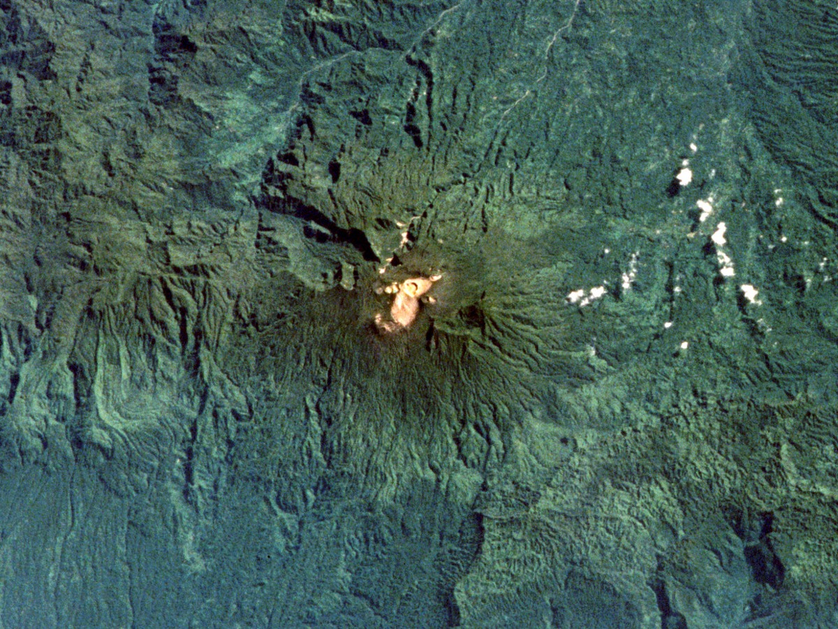
The Balbi stratovolcano is built from a large number of cones and lava domes that have grown together over time into a single andesitic complex. Its flanks are cut by three large valleys with steep headwalls, the product of deep erosion into the layered volcanic material.
The Five-Crater Ridge and Fumarolic Activity
North of the summit cone, a northwest-to-southeast trending ridge holds five well-preserved craters, while the summit cone itself contains an additional crater. Among the ridge craters, Crater B — approximately 600 m wide — hosts fumarolic activity within its interior and also on its western flank, indicating that residual heat persists within the system.
An Uncertain Eruption History
The age of Balbi's most recent eruption has not been established with precision. An oral tradition pointing to a major eruption during the nineteenth century is considered likely to be in error by researchers, though it may reflect a minor eruptive episode rather than the large event the tradition implies. No confirmed eruption date has been published.