
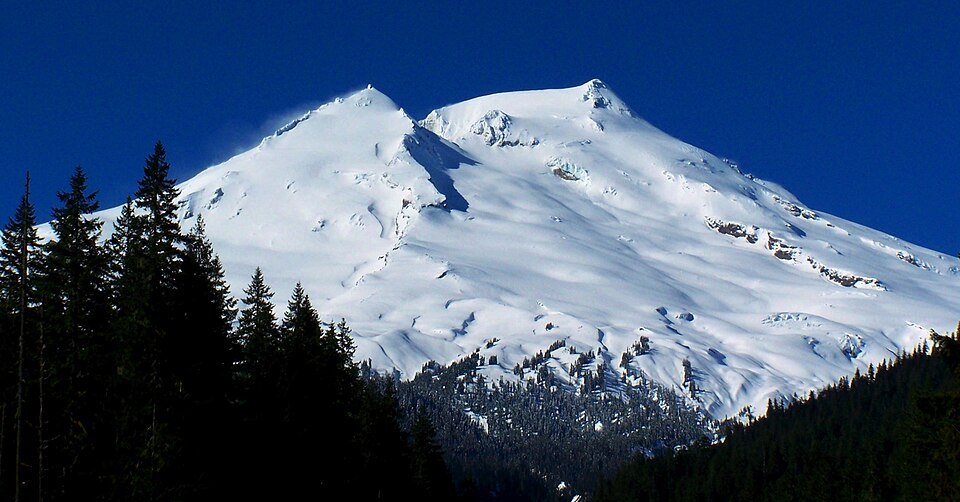
Names and Identity
The mountain carries at least three recognized names. Its Indigenous names are Koma Kulshan and Kulshan, while the name Mount Baker is the designation used by the U.S. Geological Survey and in common English usage. The coexistence of these names reflects the mountain's significance to both the region's original inhabitants and later cartographic traditions.
Volcanic Setting
Mount Baker sits within the Cascade Volcanic Arc, the chain of volcanoes produced by the subduction of the Juan de Fuca Plate beneath North America. It lies approximately 30 miles (48 km) due east of Bellingham and belongs geologically to the Mount Baker volcanic field, a province where volcanic activity has persisted for some 1.5 million years. The current cone, however, is the youngest structure within that field.
Although the mountain is draped in glaciers and presents a predominantly icy profile, its crater remains notably active in hydrothermal terms. Among all Cascade volcanoes monitored by the USGS, only Mount St. Helens registers greater thermal output at the crater — a distinction that places Mount Baker in a select category of geologically restless peaks despite the absence of recent eruptive events comparable to its southern neighbor.
Landscape and Glaciation
The andesitic composition of Mount Baker's cone is characteristic of stratovolcanoes along convergent plate margins, where magma chemistry tends toward intermediate silica content. This geology underlies a mountain whose flanks are extensively covered by glacial ice, giving it the bright, heavily crevassed appearance visible from lowland vantage points near Boulder Creek and across Whatcom County.