
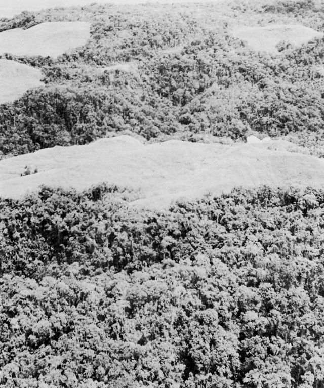
Terrain Between Two Rivers
U.S. Army historical accounts describe Mount Austen as an assemblage of ridges and knolls between the Matanikau and Lunga Rivers, above the coastal plain, with the main hill recorded at 1,514 feet — approximately 461 metres — and no single precise summit claimed. Dense vegetation and broken ground defined movement throughout the area.
The Gifu and the December–January Campaign
Contesting of the mountain and surrounding ridges began in December 1942. West of the main summit, Japanese forces held the Gifu — a network of interconnected fortified positions distinct from the summit itself. That system resisted reduction until 23 January 1943, when fighting around the Gifu concluded.
Local Knowledge and the Forest Trails
Solomon Islander scouts and porters, documented by the National WWII Museum, guided forces along trails they knew from life on Guadalcanal. Their knowledge of the ridgelines was integral to movement through terrain that outsiders could not readily navigate — a contribution both the U.S. Army and museum accounts acknowledge.