
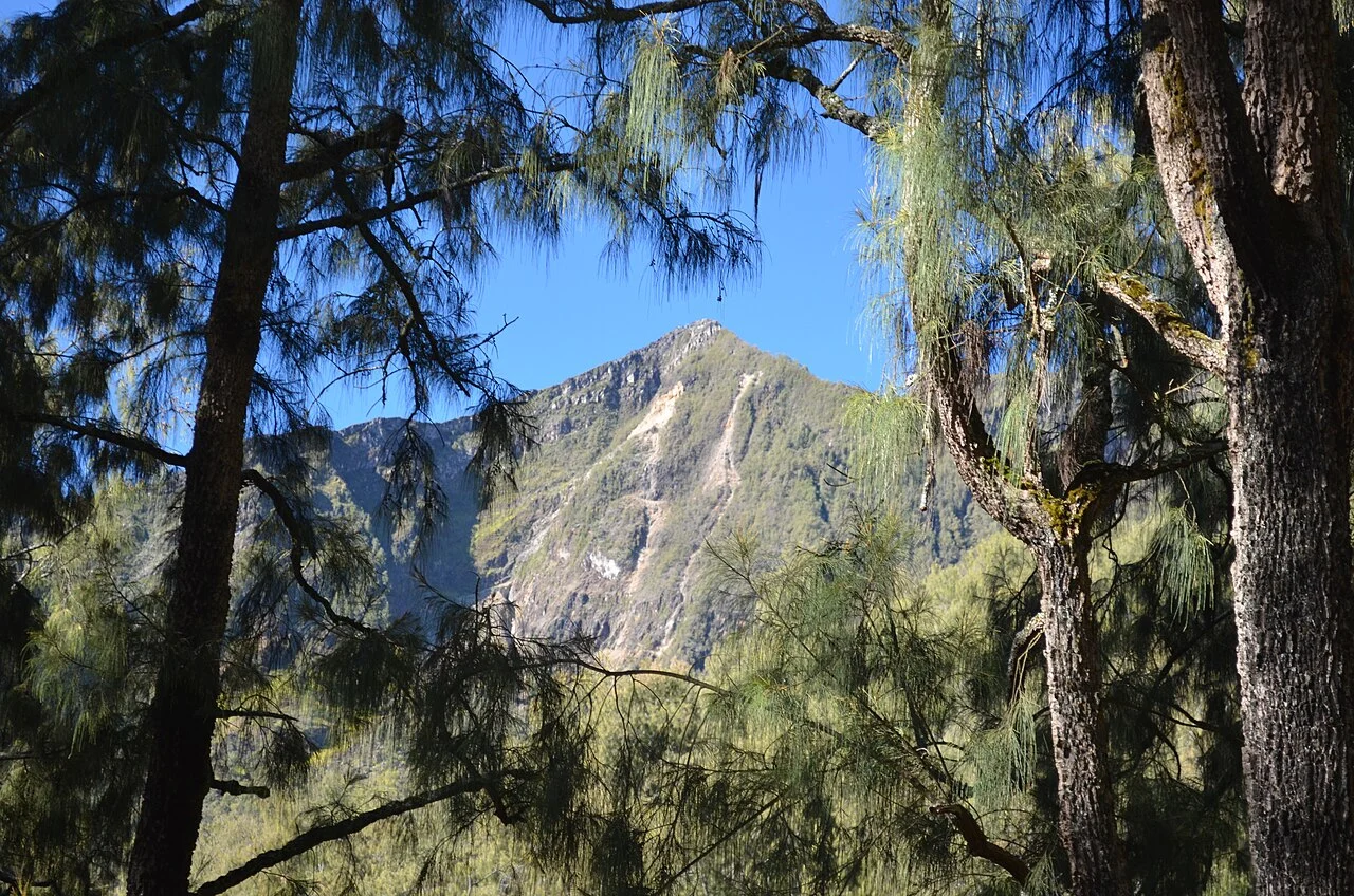
A Ridge Built on Older Ground
The Arjuno–Welirang complex overlies much of the earlier Gunung Ringgit edifice, whose remnant foundations shaped the platform on which the present ridge developed. Pyroclastic cones cross the southern flank of Arjuno and extend toward the lower southeast slopes, distributing evidence of episodic explosive and effusive activity across the complex.
Welirang and the Eruptive Record
The northwestern summit, Welirang, stands at 3,156 metres by Indonesian agency figures and hosts conspicuous fumarolic activity tied to its sulfur-bearing craters. The Smithsonian Global Volcanism Program identifies Welirang as the active vent of note; eruption records for 1950 and 1952 belong to the broader complex and, where evidence permits attribution, associate those events with Welirang.
Districts Across the Complex
The Indonesian Geological Agency names Malang, Pasuruan, and Mojokerto as the three administrative districts sharing the Arjuno–Welirang complex, a jurisdictional spread reflecting the physical scale of the ridge. The agency has used Malang Raya as a focus region for geological hazard and geothermal resource information tied to this volcanic system.