
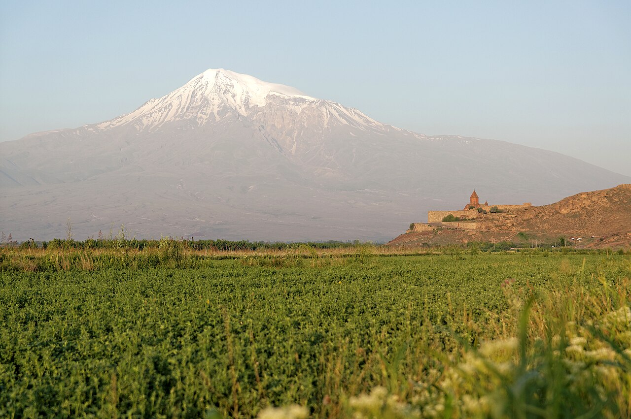
Two Peaks, Two Elevations, One Volcanic History
The Smithsonian Global Volcanism Program and Türkiye's Ministry of Culture and Tourism give the summit elevation of Greater Ararat as 5,165 metres. A 2012 study by Mehmet Akif Sarikaya, published in the Journal of Asian Earth Sciences and indexed by Istanbul Technical University, uses 5,137 metres. Both figures appear in the literature as attributed values from their respective sources. The volcanic edifice includes lava flows on its flanks as well as a summit ice cap — features satellite observation can distinguish separately.
The Smithsonian records 1840 as the date of the last known eruptive activity, with the qualification that one cited study reports historical indications of a phreatic eruption and pyroclastic flow associated with a major earthquake and landslide in July of that year.
A Retreating Ice Cap
The 2012 Sarikaya study used satellite imagery spanning 1976 to 2011 to measure changes in Ararat's summit ice cap and found a 29 per cent reduction in ice-cap surface area over those thirty-five years. The result marks the ice cap as a dynamic rather than permanent feature of the summit.
Biblical Tradition and the 1829 Expedition
Mount Ararat is traditionally associated with the biblical account of Noah's Ark, a connection acknowledged by Türkiye's Ministry of Culture and Tourism. The first documented modern ascent took place in 1829, conducted by an expedition that included Friedrich Parrot of the University of Dorpat — now the University of Tartu in Estonia — and Armenian writer Khachatur Abovian. Parrot subsequently published an account of the scientific expedition. The 1829 climb stands as the foundation of Ararat's mountaineering record.