
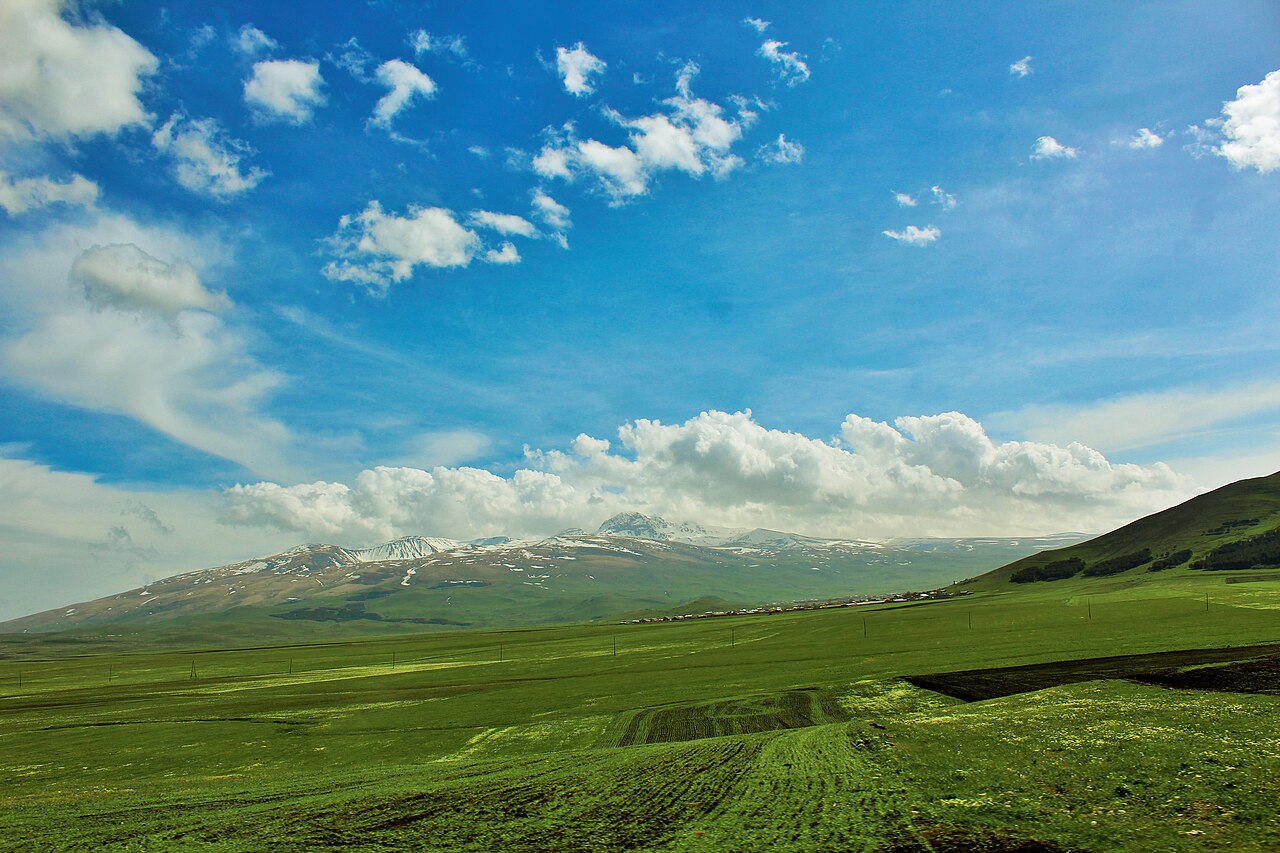
Four Summits of a Dissected Volcano
The Armenian Mountaineering Federation documents four named peaks within the summit region of Aragats: the North Peak at 4,090 m, the West Peak at 3,995 m, the East Peak at 3,908 m, and the South Peak at 3,887 m. The Smithsonian describes the main structure as a large andesitic to dacitic stratovolcano whose Pliocene-to-Pleistocene edifice was dissected by glaciers, producing the current arrangement of separated peaks around a broad upper depression.
Satellite cones and fissure systems on the lower flanks fed lava flows that extend outward from the central massif. The Smithsonian notes flows of uncertain age on these lower slopes, and no specific latest eruption date is established with certainty.
Amberd and the Southern Slope
On the southern flank of Aragats, the medieval fortress of Amberd occupies a defensive promontory where two river gorges meet below the snowline. The fortress and an associated church date to the medieval period and represent one of the more intact architectural survivals in the Aragatsotn region.
Lake Kari sits at high elevation within the Aragats massif as a separate feature of the mountain landscape. The Tourism Committee of Armenia identifies both Amberd and Lake Kari in connection with the broader Aragats area.
Armenia's Highest Point
The North Peak is the highest point in Armenia. The Federation's documentation of the four peaks and their individual elevations reflects a tradition of technical mountaineering engagement with Aragats that treats the massif as a multi-summit objective rather than a single point, and the traverse of multiple summits through the dissected terrain between them defines the mountain's character for those climbing it.