
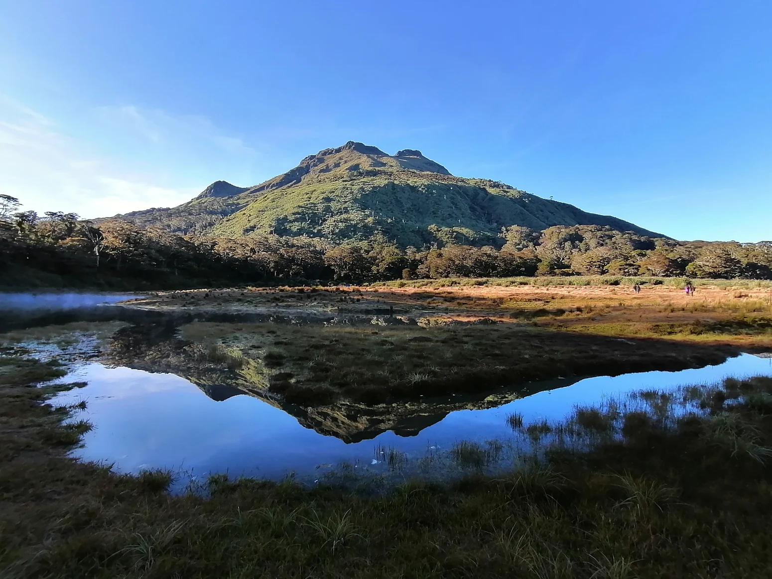
Terrain and Geology
The mountain's topography is characterised by severe relief: the Philippine Biodiversity Management Bureau's profile of Mount Apo Natural Park describes very steep terrain with cliffs and deep valleys extending across the park's elevation gradient. On the Cotabato side of the mountain specifically, the same profile identifies volcanic foothill deposits and pyroxene andesite associated with old volcanic cones, evidence of Apo's history as an active geological structure. This geological character on the Cotabato flank should not be read as representative of the whole park, whose broader geology reflects the complexity of a large and varied landscape.
The transition from volcanic lowland deposits to forested upper slopes defines much of the mountain's ecological character. Forests within the wider park boundary provide documented nesting habitat for the Philippine eagle, one of the world's largest raptors and a species whose survival is closely tied to the integrity of large old-growth forest tracts. The park's vertical extent — from low-elevation forest margins to the open summit — means that this habitat mosaic is preserved across a continuous altitudinal range.
Legal Protection and Governance
The formal protection of Mount Apo was codified in Republic Act No. 9237, known by its short title as the Mount Apo Protected Area Act of 2003. The law was approved on 3 February 2004 and establishes the natural park along with designated buffer areas across portions of both Cotabato and Davao provinces. The legislation explicitly defines ancestral lands and ancestral domains as components of protected-area management, making indigenous land rights a structural element of how the park is governed rather than a secondary consideration.
The distinction the law draws between the natural park area and its buffer areas is legally significant: the two zones carry different management designations and should not be treated as a single uniform territory. This layered framework reflects an approach to conservation that recognises both ecological boundaries and existing human tenure within and around the mountain.
Participatory Mapping and Indigenous Land Use
Within the park, Barangay Kapatagan occupies a position that illustrates the governance complexity of Mount Apo at the community scale. DENR documentation identifies Kapatagan as lying simultaneously within the protected area and within the Unified Bagobo-Tagabawa Ancestral Domain. In this context, Philippine DENR conducted a participatory drone-mapping exercise in the barangay to support discussions on land use, bringing spatial data into conversations that bear directly on how ancestral domain lands within the protected area are managed and demarcated.
The mapping project represents an application of remote-sensing technology to a governance challenge that is inherently local: how communities whose ancestral domain overlaps a national protected area participate in decisions about that land. The case study documents the process as one of supporting land-use discussion rather than resolving it, underscoring that conservation at Mount Apo is an ongoing negotiation between national environmental frameworks and the rights of the Bagobo-Tagabawa people whose territorial claims predate the park's legal establishment.