
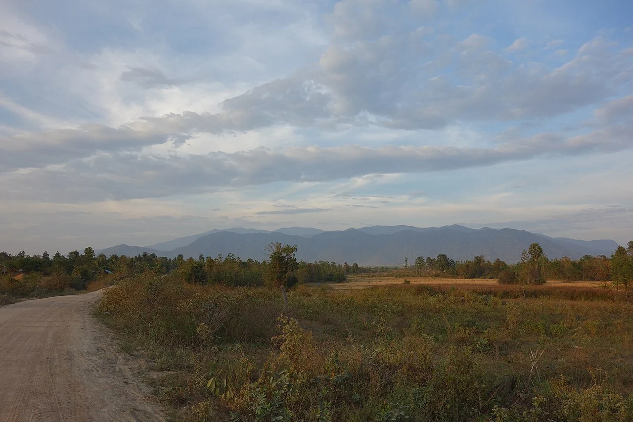
Royal Decree and Sanctuary Designation
On 1 November 1993, a royal decree formally designated the Phnom Aural Wildlife Sanctuary. The Cambodia Ministry of Environment subsequently developed a management plan that maps the sanctuary's zoning structure, establishes ecosystem conservation priorities, and distinguishes between strictly protected zones and areas where community land use is formally recognised.
Watershed Forests and Documented Pressures
The sanctuary management plan identifies forest-use pressures including timber and non-timber extraction and situates Phnom Aural's upper terrain and forest watersheds within the broader sanctuary conservation mandate. The World Bank engaged with the landscape through a sustainable landscape and ecotourism programme, recognising the area as a foundation for community-based resource management.
Provincial Coordination and Zoning Governance
The wider sanctuary spans Kampong Chhnang, Kampong Speu, and Pursat provinces. The management plan addresses coordination across these administrative boundaries, distinguishing community-use zones from core protected areas and creating legal frameworks for regulated forest use while directing strongest protection toward areas the plan identifies as carrying the highest conservation value.