
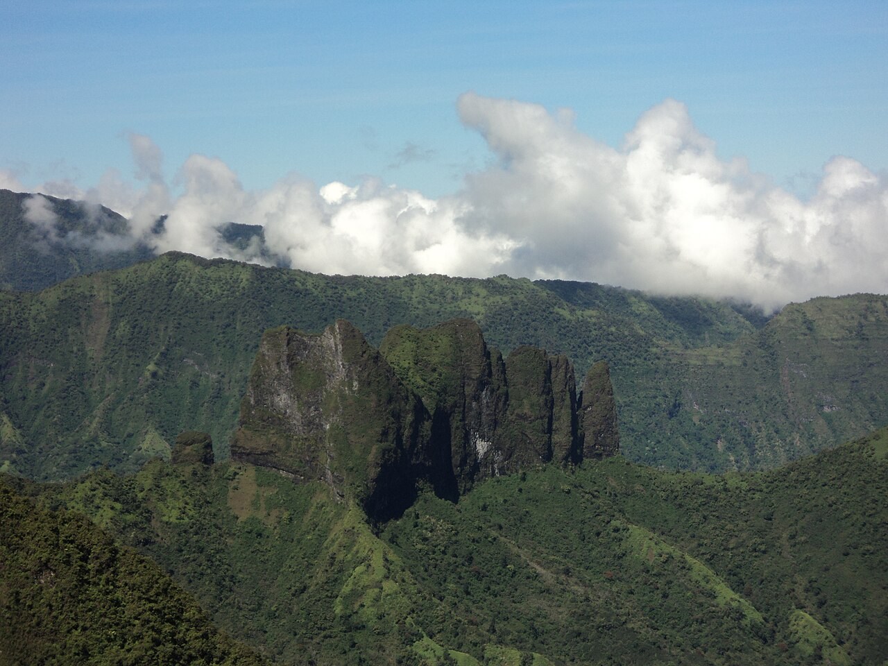
A topography in two acts
The ascent from Pirae is organised around a clear topographic break: a first hut sits at around 1,400 metres, marking the boundary between the lower forested slopes and the upper mountain. Beyond this threshold the terrain changes character — the ridge narrows and becomes markedly more exposed, clearly distinguishing the hut zone from the summit itself.
This stepped structure is typical of the ancient volcanic edifices of Tahiti Nui, where differential erosion has carved intermediate terraces into an otherwise compact basaltic mass. The elevation gain between the coastal trailhead at Pirae and the 2,066-metre summit is concentrated over a relatively short horizontal distance, giving the mountain its characteristically steep profile as seen from the north-west coast of the island.
Clouds as an altitudinal marker
Across Tahiti, orography plays a determining role in the distribution of rainfall and vegetation zones. Moisture-laden air masses arriving from the open ocean condense into cloud as soon as they meet the first ridges, feeding hygrophilous mountain forests at higher elevations. This phenomenon, well documented across the island's uplands, is particularly pronounced on Mont Aorai, whose summit frequently emerges above a sea of cloud visible from the coastal plain.
The altitudinal gradient that structures these natural environments — from coastal vegetation to high-altitude formations subject to orographic precipitation — is one of the principal ecological features recognised by the Direction de l'environnement of French Polynesia for the natural areas of Tahiti. Aorai, with its continuous elevation gain from sea level to over 2,000 metres, provides a representative cross-section of this vertical organisation, though it is not possible here to define the precise boundaries of each zone.
Pirae, gateway to the massif
The commune of Pirae, on the edge of the Papeete urban area, is the established starting point for reaching Mont Aorai. This proximity to the territorial capital makes the mountain a strong landmark of identity for residents of Tahiti's west coast, who see its profile dominating the inland horizon every day. The Pirae–Aorai axis thus embodies the junction between the urbanised coastal world and the largely wild volcanic hinterland.
This precise geographical anchor — a named summit, tied to an identifiable commune, accessible via a marked route with intermediate huts — sets Aorai apart from many other high points on Tahiti that remain without any documented approach. The presence of the first hut at around 1,400 metres provides a concrete logistical reference in a massif where weather conditions can deteriorate rapidly with altitude.