
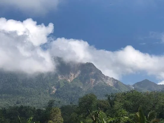
Geology and the 2005 Phreatic Episode
The Global Volcanism Program documents a phreatic event on 22 December 2005, in which groundwater superheated by shallow subsurface heat produced a steam-driven release with reported ash. A 2023 study at Bongkudai Baru identified andesite, breccia, and tuff composing the complex, alongside cone and fumarole landforms.
Botanical Fieldwork in the Nature Reserve
The complex's slopes lie within Gunung Ambang Nature Reserve, where a 2016 Royal Botanic Garden Edinburgh expedition collected specimens while seeking Cyrtandra. The team documented Begonia hispidissima and the fern Dipteris conjugata, contributing records of flowering plants, ferns, and mosses from the reserve's montane forest habitats.
Survey Record and Named Features
The GVP assigns the complex a headline elevation of 1,795 metres, consistent with the Binangunan subfeature measurement. The Geological Agency of Indonesia has published additional survey documentation of the massif. Multiple eruptive centres across the complex mean that published elevation figures reference specific high points rather than a single unified summit.