
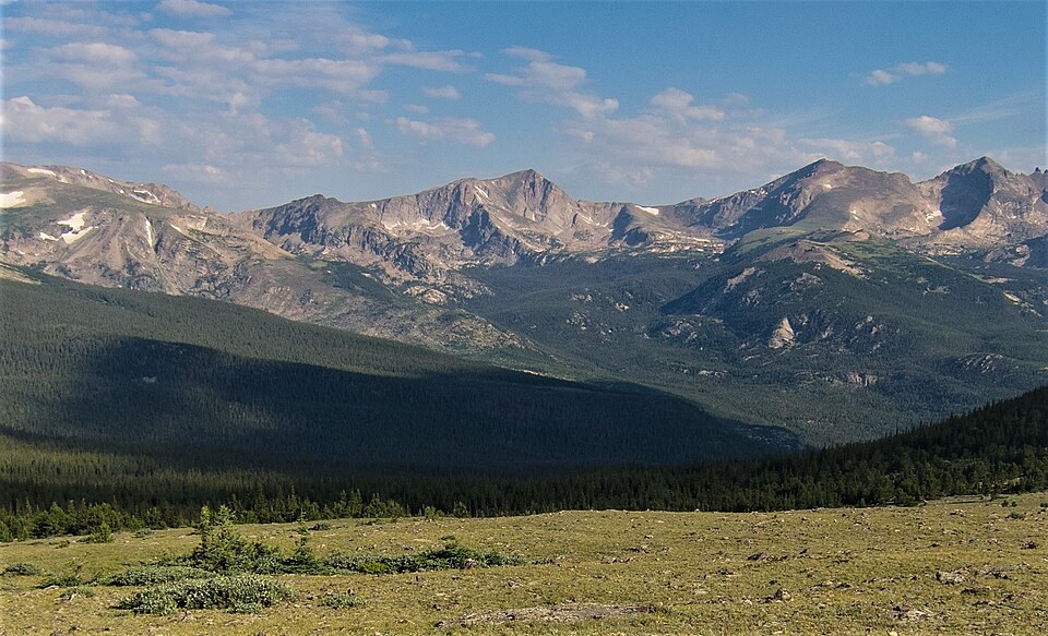
Landform and Drainage
The steep summit ridge marks the boundary between eastward and westward drainage across the Continental Divide. Wild Basin defines the mountain's eastern landscape, while Lake Nanita lies on the western side, and the ridge channels precipitation toward each watershed.
Glacial Terrain
Ancient ice shaped the basins that characterise this part of Rocky Mountain National Park, leaving hollowed cirques and sculpted flanks across the range over geologic time.
Early Documented Ascent
In August 1916, Roger W. Toll, Thurlow Lacy, and Theodore K. Bushnell made a recorded outing to Mount Alice and the surrounding region, including the areas around Lake Nanita and Tanima Peak. The party noted a snow cliff ending at a lake during their ascent. That visit stands as an early documented account of the summit area.