
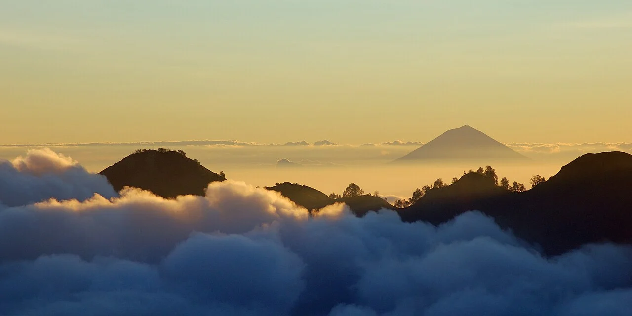
A Volcano Defined by Its 1963 Eruption
The Smithsonian's historical record places the onset of Agung's most consequential modern eruptive episode on 18 February 1963, with activity continuing into 1964. The event produced three distinct and destructive phenomena. Ashfall buried agricultural land across a wide area of eastern Bali. Pyroclastic currents — fast-moving mixtures of hot gas, ash, and fragmented rock that travel along the ground — descended the flanks at high velocity and caused severe structural damage along their paths. Lahars, by contrast, are volcanic mudflows generated when loose erupted material mixes with water, whether from rainfall, rivers, or melting ice; these slower but voluminous flows extended destruction further downslope and into river valleys. Indonesian Ministry of Energy and Mineral Resources documentation notes 1963 deposits around the town of Amlapura and describes the agency's subsequent 2017 monitoring response, underscoring the long-term legacy those deposits left on the landscape.
The distinction between pyroclastic currents and lahars matters for understanding how a single eruption can reshape terrain in multiple ways and over different timescales. Pyroclastic currents act almost instantaneously, while lahars can be remobilised by seasonal rains for years after an eruption ends. The 1963 episode at Agung remains the benchmark event in Indonesian volcanological records for this region, and the deposits around Amlapura continue to inform hazard assessment on the mountain.
Besakih and the Southwestern Slopes
On the southwestern flank of Agung, within the administrative district of Rendang in Karangasem Regency, stands Pura Besakih — referred to by the Bali Provincial Tourism Office as the mother temple of Balinese Hinduism. The temple complex is situated more than 900 m up the slopes, a placement that positions it well above the surrounding lowlands and in direct relationship with the volcano's visible profile. Karangasem Regency sources identify the full temple as Pura Agung Besakih, and the site encompasses multiple shrines distributed across the slope rather than a single structure.
The siting of Besakih at this specific elevation on Agung's flank reflects a deep integration between volcanic topography and religious practice in Balinese Hinduism, where the mountain itself occupies a central position in the cosmological order. The temple's location above 900 m means it occupies terrain shaped directly by volcanic geology — the same southwestern slopes that channel material away from the summit crater — giving the site a physical relationship with the mountain that is as geological as it is devotional.
Geology and Summit Topography
Agung is classified as a stratovolcano, the type characterised by alternating layers of hardened lava, tephra, and volcanic ash built up over successive eruptive cycles. Its crater, described by the Smithsonian as approximately 800 m wide with steep walls, sits slightly east of the actual high point of the mountain, a topographic detail that affects both the visual profile from the south and the routing of any approach toward the summit. The crater's dimensions and wall geometry reflect the cumulative history of eruptions that have alternately built and collapsed the summit structure.
Agung lies southeast of the Batur caldera and is a separate stratovolcano with its own distinct summit crater and eruptive history. The two are sometimes grouped in regional descriptions of Balinese volcanism, but they have separate eruptive records and drainage systems. Agung's eastern position on the island shapes how lahars and secondary flows behave during and after eruptive events, a factor incorporated into ongoing monitoring frameworks established in the wake of the 1963 episode.