
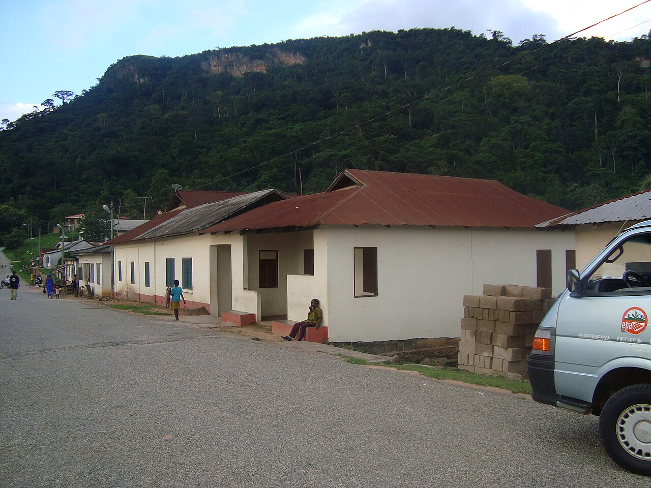
Forest Cover and Vegetation Zones
Semi-deciduous forest clothes the western slopes of Afadjato, while wooded savanna characterises the steeper eastern slopes and a narrow savanna band occupies the summit area. These distinct vegetation zones, documented in the KBA factsheet for the Agumatsa Range, reflect the varying moisture and exposure conditions across the mountain's flanks.
Bird Diversity Recorded in a Four-Day Survey
A focused four-day survey of the forest portion on Afadjato itself recorded 88 bird species, a figure cited in the Key Biodiversity Areas report and one illustration of the mountain's notable ecological record. The count represents a targeted inventory of that habitat and points to the ornithological richness concentrated within this relatively compact forest block.
Community Forest Research and Plant Use Studies
University of Ghana researchers combined Landsat satellite imagery with local questionnaires to evaluate a decade of community management of the Afadjato forest. A separate biocultural study, conducted between August 2010 and June 2011, surveyed how resident communities use forest plants, documenting the practical and cultural relationships that have shaped conservation practice around the mountain.