
Naming and the Presidential Tradition
The Appalachian Mountain Club documents that in 1820 a party guided by Ethan Crawford named Mount Adams for John Adams, the second US president. Adjacent heights received distinct designations — Mount Sam Adams and Mount John Quincy Adams — ensuring each member of the Adams family line held its own named summit rather than sharing a collective label.
King Ravine and the Great Gulf
On the northern flank, King Ravine opens as a prominent glacial cirque, its steep headwall documented in published geological mapping of the Presidential Range. The Great Gulf occupies the opposite side of the crest, a broad hollow whose scale contrasts markedly with the more enclosed form of King Ravine to the north.
Elevation and Summit Character
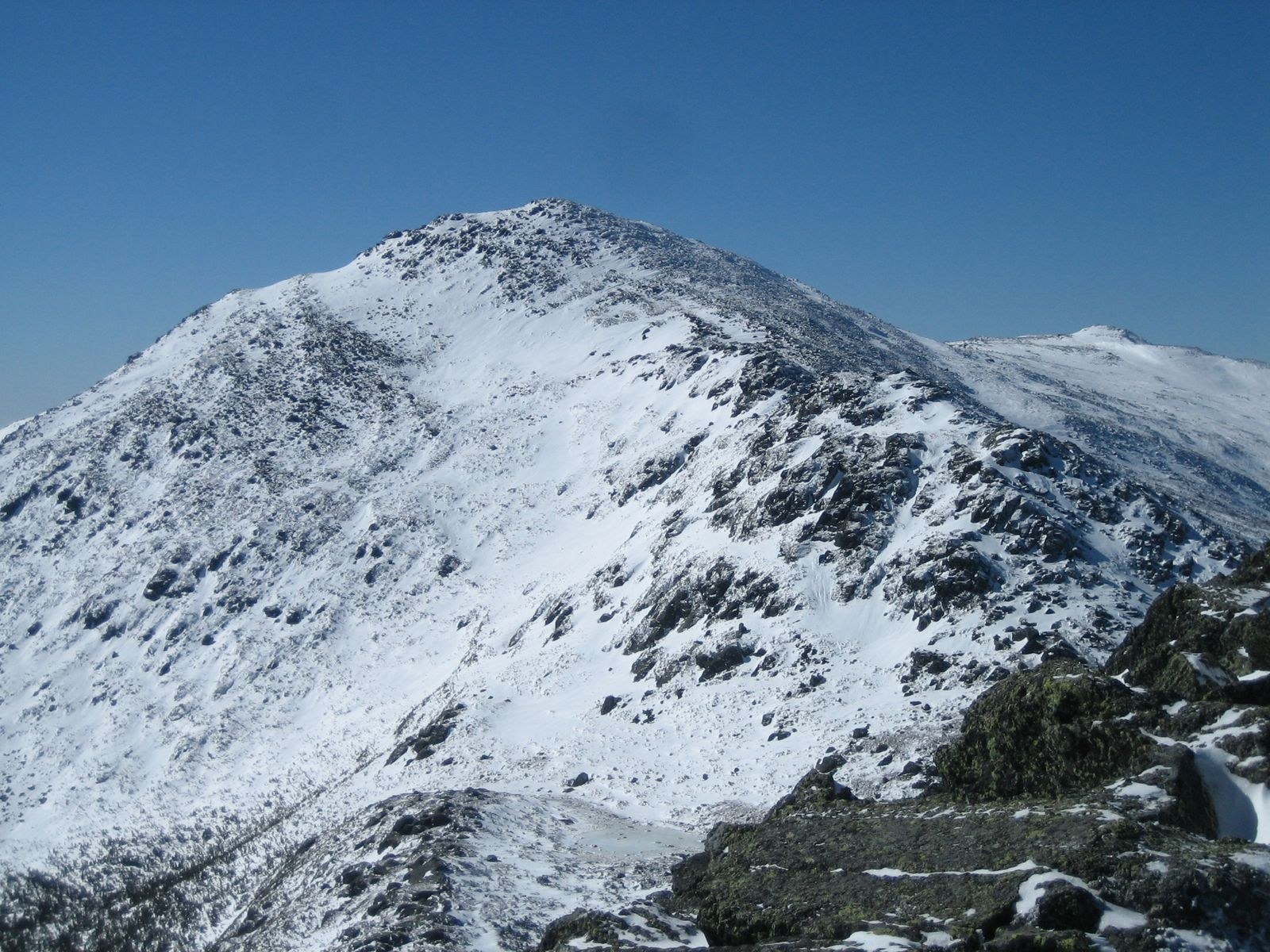
At about 1,765 meters, Mount Adams ranks second in the Presidential Range, surpassed only by Mount Washington. Its summit zone is rocky and exposed, subject to the severe weather that defines the high Presidential ridgeline, and its position in the northern section of the range makes it visible from multiple directions across the White Mountains.