
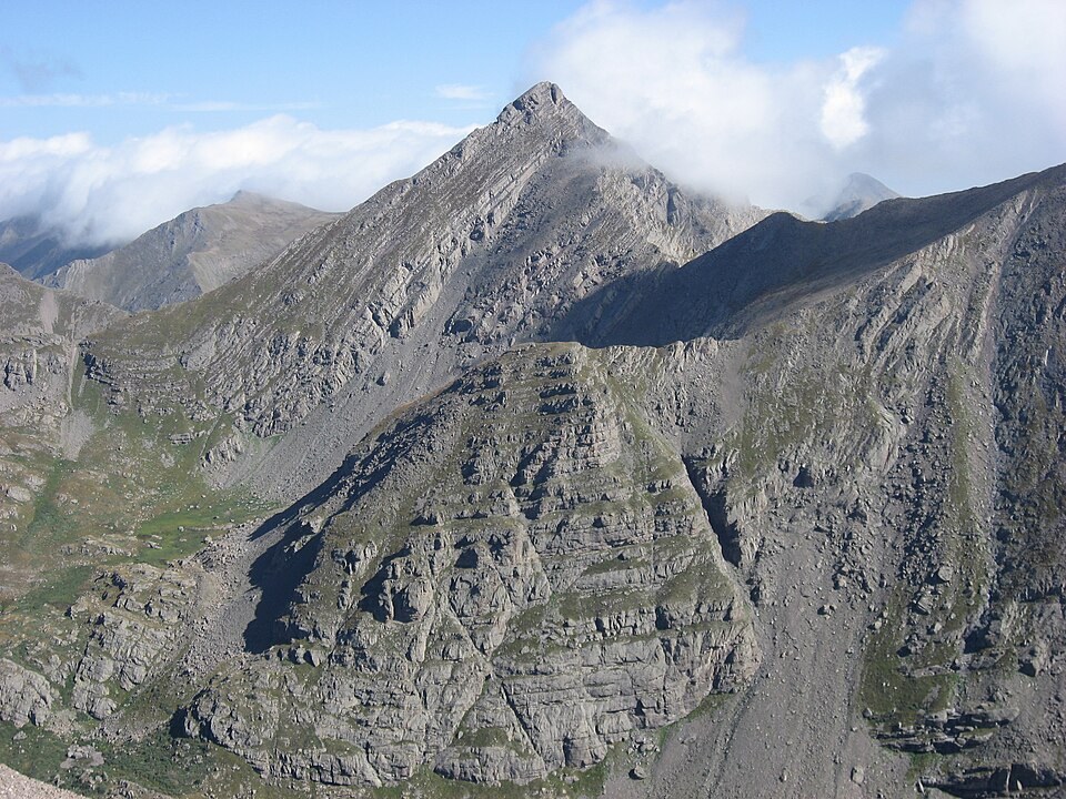
Range Structure and Geologic History
USGS regional studies trace the Sangre de Cristo Range through a sequence of compressional folding and faulting acting on older sedimentary formations, followed by the development of the present western front along the Rio Grande rift. This structural history shaped the sharp relief and steep western face characteristic of the range. The regional overview does not assign a specific rock unit to the Adams summit.
Glacial Chronology of the Willow Creek Drainage
Researchers applied cosmogenic beryllium-10 exposure dating to moraines and polished bedrock surfaces in the Willow Creek valley and neighboring drainages below Mount Adams. The resulting chronology indicates the Willow Creek valley was nearly free of ice by approximately 14,000 years ago.
USGS mapping of Quaternary deposits in the Crestone area documents the distribution of glacially derived sediments across the valley floors surrounding the peak, providing spatial context for the exposure-dating work and linking the valley-scale landforms to the broader stratigraphic record of the range.
Willow Lake and the Surrounding Terrain
Willow Lake sits at the foot of Mount Adams and is the principal landmark orienting the peak within the landscape. The Colorado Mountain Club identifies this as the Mount Adams that overlooks Willow Lake, underscoring the lake as the defining geographic reference for the summit. The drainage divide position of the peak means its slopes shed water into both the Custer County and Saguache County sides of the range.