
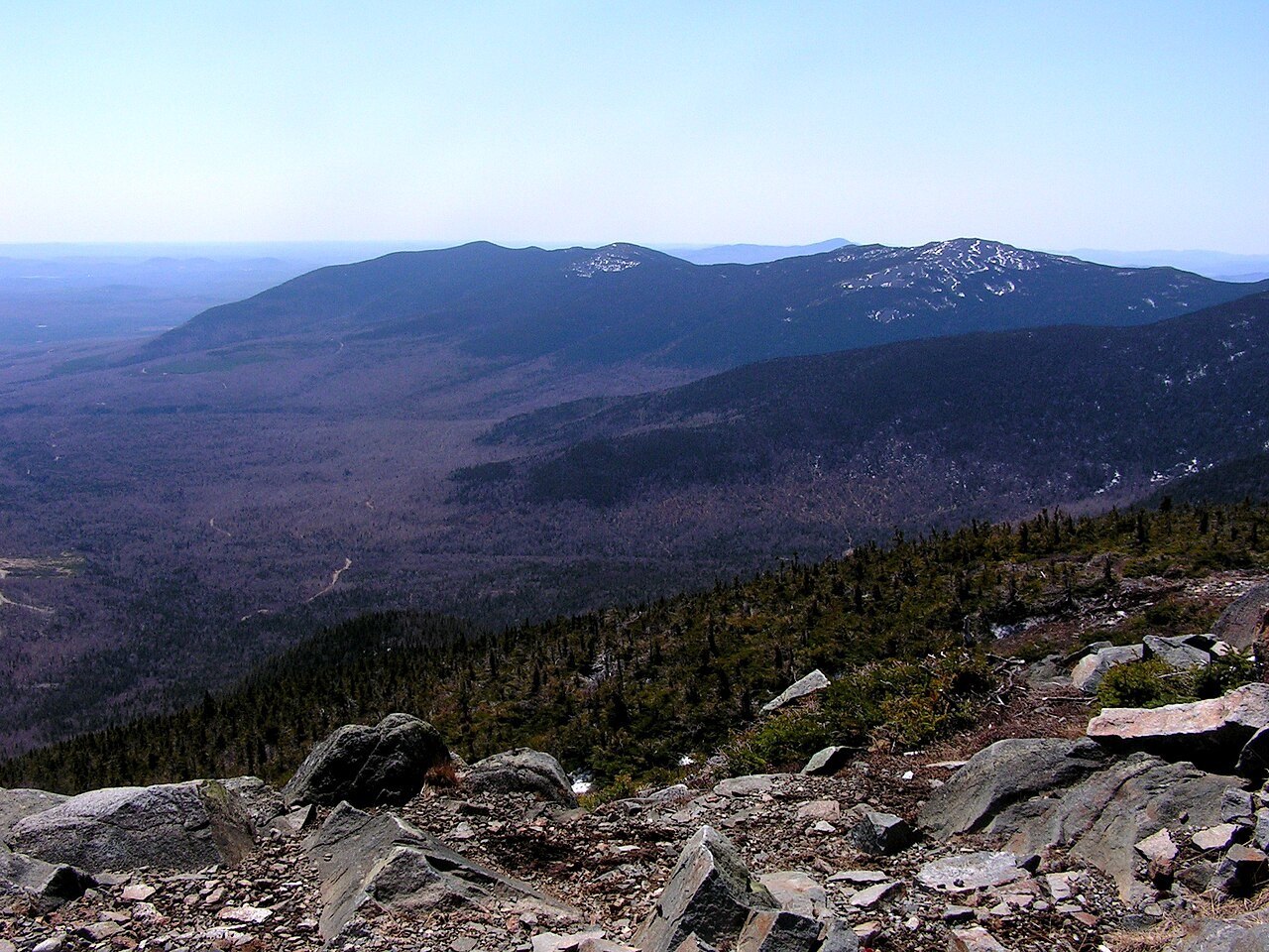
Summit Terrain and Ridge Character
Open rock and crumbling bedrock define the upper reaches of Mount Abraham above the montane forest covering its lower slopes. This exposed zone extends along a lengthy ridge rather than forming a brief rocky cap, creating an extended subalpine environment. The Maine Natural Areas Program documents this transition from closed forest to open ridge as central to the mountain's ecology.
Wind, Fire, and Disturbance
The Maine Natural Areas Program attributes the ridge's open character to wind, fire, and historical disturbance acting at summit elevation. River logging shaped the lower valleys separately, leaving marks on forest composition distinct from the summit story. Freeze-thaw cycles fracture the exposed bedrock, sustaining the crumbling terrain that persists above the treeline.
Conservation and Ecological Reserve
The Appalachian Trail Conservancy acquired land on Mount Abraham, donated it to the state of Maine, and secured its status with a conservation easement. According to the Conservancy, this transfer produced the first new acquisition under Maine's ecological reserve program after its establishment in 1999, protecting the ridge and summit communities the Maine Natural Areas Program documents.