
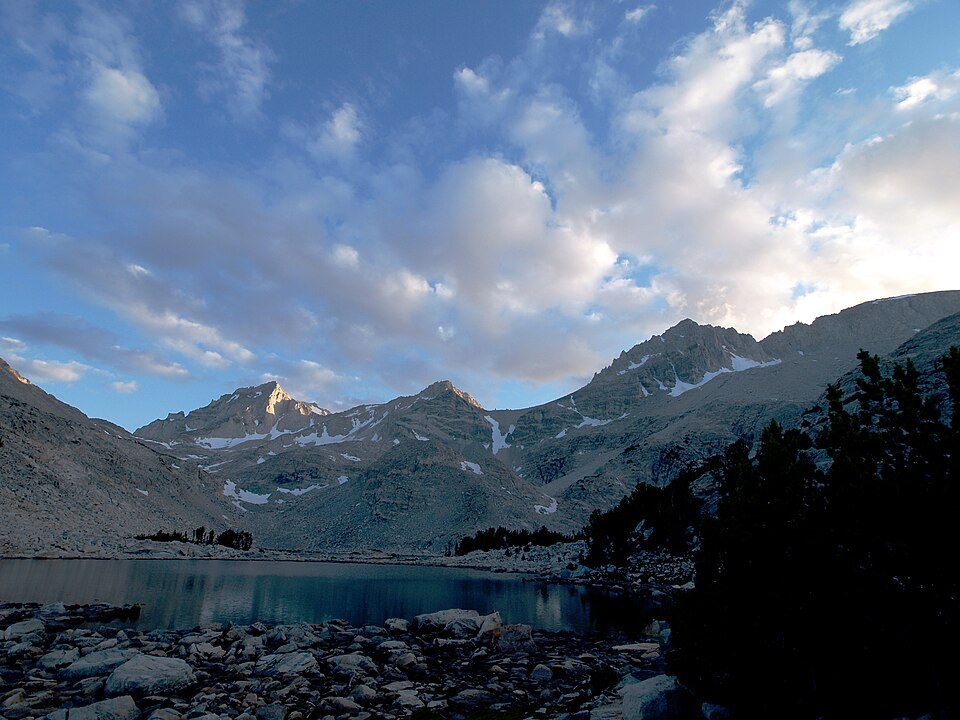
The Whitney Survey and Henry Larcom Abbot
The 1864 Whitney Survey assigned the mountain's name to Henry Larcom Abbot, an officer who had participated in the 1855 Williamson railway survey through California and Oregon. When the commanding officer fell ill, Abbot took responsibility for writing the survey's published report. The naming honored his contribution to that federal reconnaissance effort; there is no record that Abbot surveyed or climbed his namesake mountain.
The 1908 Ascent and Summit Record
On July 13, 1908, Joseph Nisbet LeConte, James S. Hutchinson, and Duncan McDuffie reached the summit. A firsthand account published in the Sierra Club bulletin records that the party built a monument at the top and deposited a written record there. The account provides one of the earliest documented descriptions of conditions on the peak and of the view from the crest.
Geological Mapping and the Abbot Quadrangle
USGS geological mapping later used Mount Abbot as the name of a study quadrangle spanning the Sierra crest in this portion of the range. That designation extended the peak's identity beyond a single summit into a framework for systematic geologic investigation of the surrounding terrain, anchoring the name to a mapped section of the central Sierra that includes the crest and its flanking topography.