
Volcanic Landscape
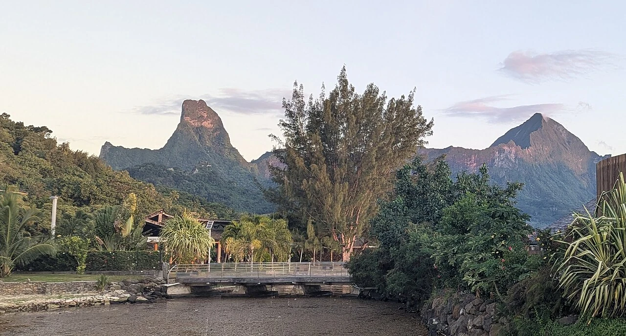
Geological research published by Bechon and colleagues in 2026 reconstructs Moorea's volcanic evolution: a northern flank failure dated to approximately 1.64 million years ago was followed by renewed volcanic activity, producing the deeply eroded massif visible today. Mouaputa forms part of that massif. A 2025 panorama taken from Cook's Bay shows Mouaputa at left and the neighbouring Tohivea at right.
The Pierced Mountain
Tahiti Tourisme records the mountain under variant names including Moua Puta and Moua Tapu, the first translating roughly as pierced mountain. In local tradition, the opening in the ridge is linked to the story of Pai, whose spear passed through the peak — an account that Tahiti Tourisme presents as part of the mountain's sacred associations. This story is oral tradition and is recorded as such.
Upper Forest and Summit
A 2001 UC Berkeley natural history field report documents moth collecting at several sites on Moorea. One mapped collecting site was the 830 m summit of Mouaputa; a separate student orchid report in the same collection also mapped the Mouaputa summit.