
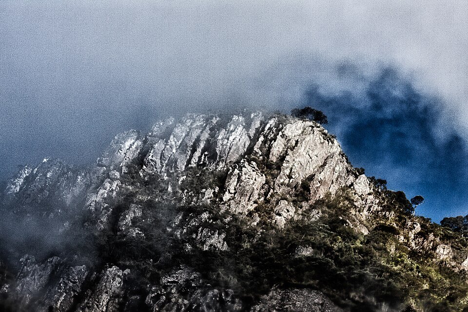
Serra Catarinense: the landscape that defines the summit
The surroundings of Morro da Igreja are shaped by the Serra Catarinense, a region of highland grasslands — the so-called campos rupestres and the open plateau campos limpos — which unfold in contrast to the rocky escarpments characteristic of the local geology. This combination of cliff faces, outcrops and grassland vegetation gives the massif a distinctive character within the Atlantic Forest biome, where altitude imposes harsh climatic conditions that favour flora and fauna adapted to cold and persistent mist. Access to the area is via Urubici, the municipality that serves as the gateway to the park and to the Serra Catarinense at its most precipitous.
The viewpoint and Pedra Furada
The Public Use Plan for São Joaquim National Park, produced by ICMBio, describes a visitor viewpoint situated near the summit of Morro da Igreja. From this point, the gaze takes in a panorama encompassing canyons carved by erosion, expanses of highland grassland and, prominently, the Pedra Furada — a natural opening in the rock that is one of the most recognisable geological features of the area. It is important to distinguish three elements that coexist in this part of the park: the summit of Morro da Igreja itself, the visitor viewpoint associated with it, and the Pedra Furada, a rock formation visible from that viewpoint but geographically separate from the highest point.
The Airspace Control Detachment
The ICMBio plan records the presence, adjacent to the viewpoint area, of the Airspace Control Detachment of Morro da Igreja — a military installation identified by the formal name used in the park's official documentation. The coexistence of this structure with the public visitor area reflects the peculiar condition of the summit, where distinct institutional functions share the same high-altitude territory within the boundaries of São Joaquim National Park.
Altimetric context and measurement references
The altitude and coordinate data for Morro da Igreja derive from the IBGE survey published in the 2024 Statistical Yearbook, which organises the highest points by state and region. The figure of 1,822 metres places the summit among the most significant in Santa Catarina, a state whose highland section concentrates several of the culminating points of southern Brazil. The difference of just five metres relative to the neighbouring Morro da Boa Vista illustrates the altimetric density of the Serra da Anta Gorda, where features of comparable magnitude succeed one another along the escarpments of the southern plateau.