
Red sands and sandstones
In observations published around 1965, Jean Hervieu describes, north of the lower Morondava, a layer of reddened sands and clays two to three metres thick, on a surface he assigns to the Pliocene. Further inland, at Marofandilia on the road to Belo, he records quartz-rich sandstones in which ferruginous patches form small concretions.
The dry forest after clearing
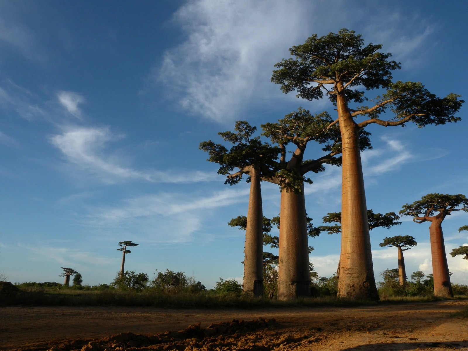
The Menabe-Antimena management plan traces the retreat of the dry forest north of the Morondava during the second half of the twentieth century. Sugar cane, rainfed crops, and irrigated rice have occupied the cleared land. Some large baobabs, difficult to fell, were spared. Their silhouettes have become one of the distinctive features of the plain.
A natural monument of 320 hectares
In 2007, the organisation Fanamby delimited 320 hectares for protection together with the Menabe authorities and the residents of the area. The decree of 28 April 2015 established the Avenue of the Baobabs protected area. The national inventory of 2016 classifies it as a natural monument.
From trunk to rope
In a study published in 2019, Andriafidison and colleagues observed bark harvesting in the Menabe and tracked the trade in ropes across four markets, including that of Morondava. The fibre is used notably to make ties for livestock and to moor dugout canoes. The researchers note that the effect of harvesting on the survival and reproduction of baobabs remains to be determined.