
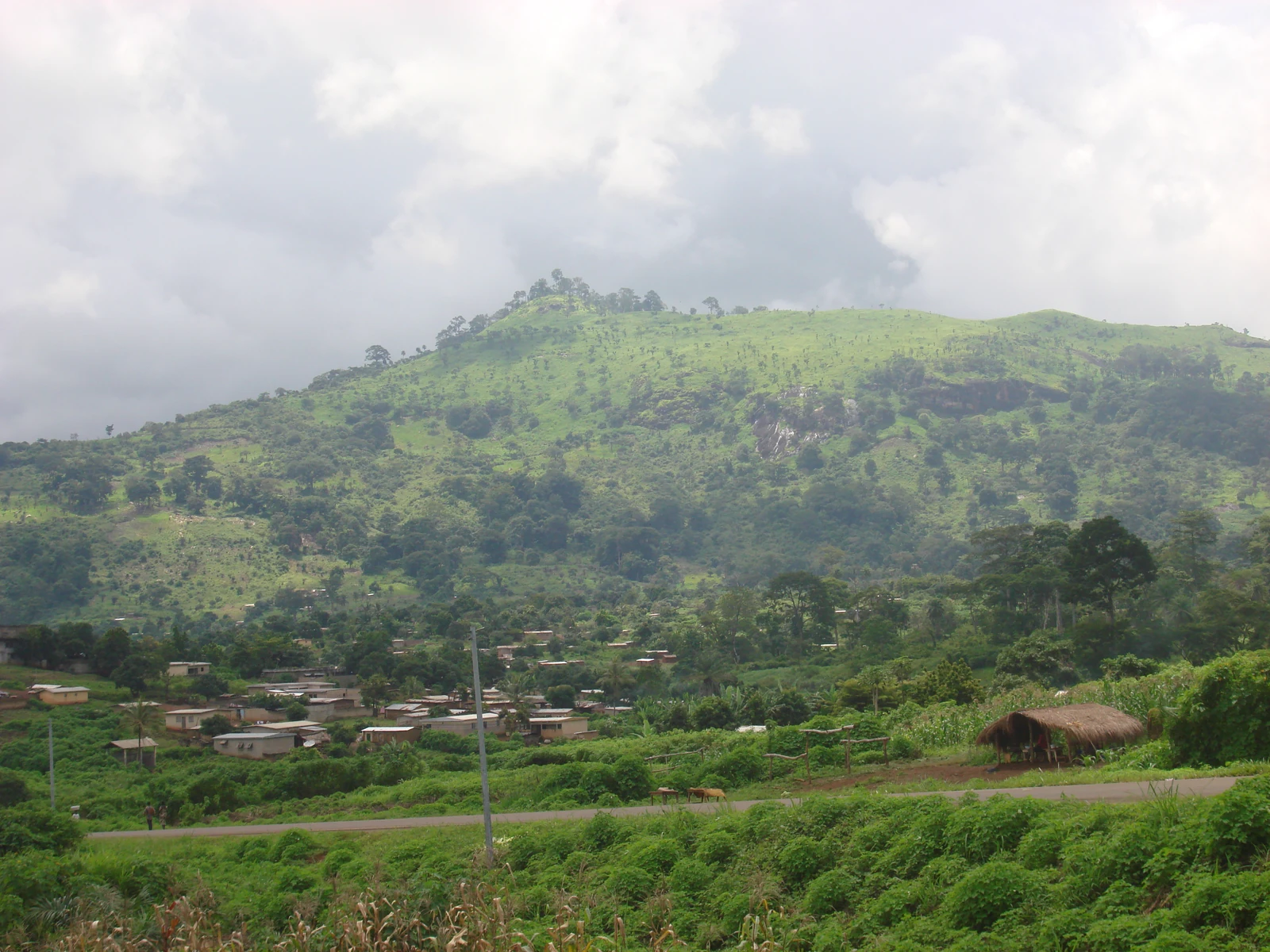
Geology and hydrology of the Koué watershed
Hydrologist A. Casenave describes, in a report published in 1979, a hypersthene granite that outcrops in the Koué basin. The river rises at around 650 metres, to the northwest of the Man–Biankouma road. It travels approximately 50 kilometres before joining the Zo and then the Nyé, which together form the Kouen, a tributary of the Sassandra. Near Douéné, measurements taken in 1978 and 1979 tracked the decline in flow between the rainy seasons.
Settlement and village organisation
According to the monograph of the Montagnes district, Toura families settled in successive waves in the eastern part of the massif after leaving the Mahou country southward from the 16th century onward. In his survey published in 2018, geographer Moustapha Soumahoro locates 38 villages in the mountains. Coffee and upland rice hold an important place there. Goods move primarily toward Biankouma and Gbonné along four road routes. The ridges and valleys make these outlets unequally accessible from one village to the next.
From state forest to national park
The Mont Sangbé massif became a state forest in 1945, according to the national biodiversity portal. The decree of 19 February 1976 established a national park of approximately 95,000 hectares. Since the revision of its boundaries on 9 May 2018, the Ivorian Office of Parks and Reserves gives an area of approximately 97,554 hectares. The Côte d'Ivoire delegation to UNESCO records fourteen summits exceeding 1,000 metres within this protected area.