
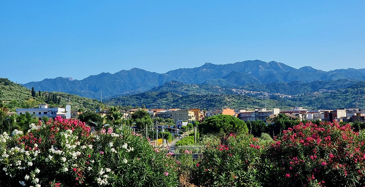
Ridge and Watercourses
The regional landscape report describes the Monti Peloritani as a ridge running approximately 65 km from Capo Peloro toward the Nebrodi and the Alcantara valley. The Fiumara Niceto drains toward the Tyrrhenian side while the Fiumara d'Agrò runs toward the Ionian. A fiumara is a steep watercourse that can rise sharply after rain.
Geology and Vegetation
A hydrogeological survey maps distinct tectonic units across the range, including the Longi–Taormina, Fondachelli, Mandanici, Mela and Aspromonte units, reflecting the varied rock sequences assembled during the geological evolution of northeastern Sicily. Official land plans document stands of conifers and cork oak within the range. Protection measures include fire prevention programmes specifically directed at those woodland ecosystems.
Forte Campone and the Dinnammare Sanctuary
In the late nineteenth century, Forte Campone was one of four batteries positioned to monitor the Tyrrhenian side of the ridge. A track from Musolino reaches it. The municipality records that the sanctuary at Dinnammare was relocated and rebuilt when the old site was taken for a fort.