
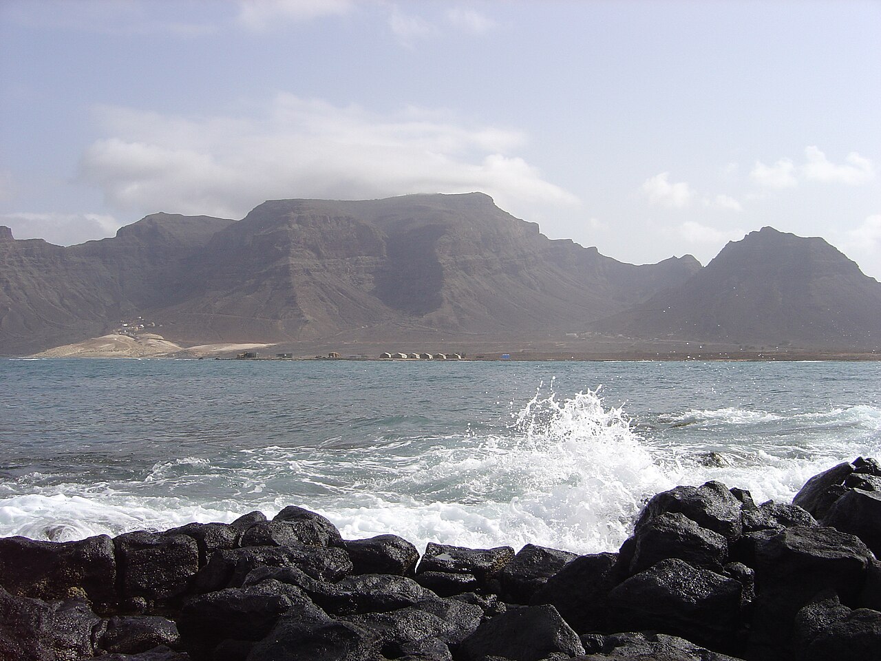
Monte Verde Formation and Island Stratigraphy
Research published in the Journal of Volcanology and Geothermal Research documents the volcanic development of São Vicente and identifies the Monte Verde Formation as a named stratigraphic unit within the island's geological sequence. The formation represents a distinct phase in the island's constructional history, separating it from earlier volcanic episodes recorded in São Vicente's layered geology.
Parque Natural Designation and Protected Microclimate
An environmental assessment conducted for Cabo Verde Airports records Monte Verde's designation as a Parque Natural in 2003. Government survey documents identify the massif as a local microclimate zone, where orographic effects generate conditions noticeably cooler and more humid than the surrounding lowlands, sustaining upland habitats that differ markedly from the island's prevailing semi-arid landscape.
Endemic Plant Communities of the High Ground
The Cabo Verde government's endemic plant portal lists high-altitude zones on São Vicente as habitat for endemic species associated with the islands' laurisilva remnants and dryland shrublands. The moister conditions recorded at Monte Verde support plant communities not found at lower elevations on the island, with the summit area noted in environmental survey documentation as ecologically significant for endemic flora.