
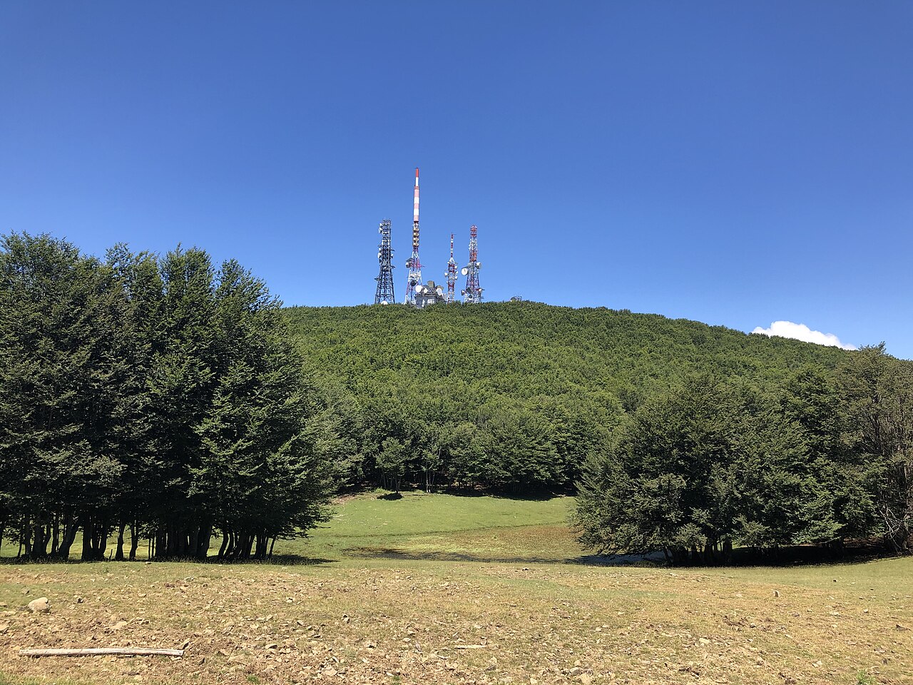
The Beech Forest and Lago Maullazzo
Immediately below the summit of Monte Soro spreads one of Sicily's most significant beech forests, notable for trees of considerable age and size. This beechwood — an unusual species for Sicily, present here thanks to the moisture levels and altitude of the Nebrodi — forms the direct forest setting of the summit. Within this forest lies Lago Maullazzo, a reservoir situated at around 1,400 m, which park sources describe as an integral part of the wooded landscape below the peak.
The combination of ancient beech forest and lake basin creates a transitional environment between closed woodland and open water, with ecological dynamics characteristic of both settings. Although Lago Maullazzo is an artificial reservoir, it has over time been absorbed into the surrounding natural landscape and become a recognisable feature of the hydro-forestry system of the Nebrodi around Monte Soro.
Lago Biviere and the High-Altitude Wetlands
Distinct from Lago Maullazzo in origin, position and ecological character, Lago Biviere is identified by Nebrodi Nature Park sources as one of the most important high-altitude wetlands in Sicily. The difference between the two — the former artificial, the latter with its own distinct characteristics — is explicitly noted in park documentation, which treats them as two separate lake environments in the Monte Soro area, each with its own profile.
The presence of two bodies of water with different histories and functions within the same mountain system underscores the hydrographic richness of the upper Nebrodi. This heritage of high-altitude wetlands is rare in the Sicilian context and helps define Monte Soro not merely as an altimetric summit, but as a node in an ecologically layered landscape.
Portella Femmina Morta and the Pass System
At 1,524 m lies Portella Femmina Morta, a pass distinct from Monte Soro and cited by park sources as an independent geographic reference point in the area. At the same elevation stands Rifugio Villa Miraglia, a facility that the park's educational programme identifies as a connecting node between the different components of the Nebrodi landscape: the wooded slopes, the ridge, and the wetlands below.
The Nebrodi Nature Park has built around Monte Soro and its surroundings a programme called "Nebrodi camminascuola", which explicitly links the beech forests, the summit ridge and the wetland areas in a path of environmental learning. This project documents how Monte Soro is officially interpreted not as an isolated peak, but as the vertical axis of an integrated landscape system, from the mid-altitude woodland up to the grasslands and water bodies of the high Nebrodi crest.