
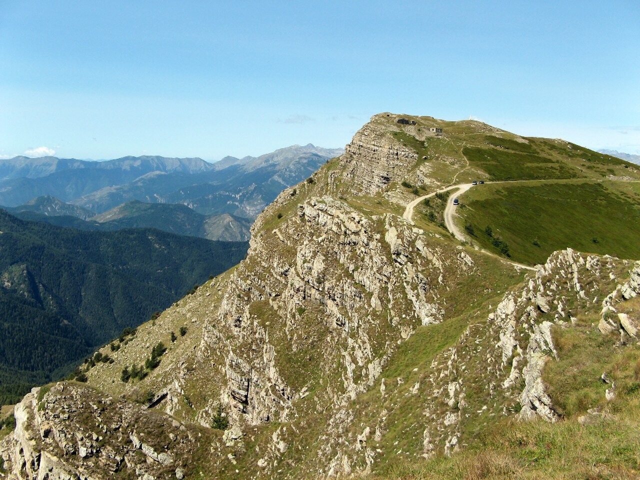
Summit and Geology
The park and regional records give the summit height as 2,200 m, while the municipal record gives 2,201 m. The regional geology overview places Monte Saccarello within calcareous-marly and sandstone flysch terrain between Ventimiglia and Albenga. Flysch is a sequence of layered sediments that includes beds deposited by underwater gravity flows. These folded strata form the structural fabric of this part of the Ligurian Alps.
The Redentore Monument
A gilded cast iron monument known as the Redentore stands on a lower knoll at approximately 2,165 m, distinct from the main summit. Local records from Triora distinguish the monument's arrival and initial ceremony in 1901 from its final placement on a completed pedestal in 1902. A separate memorial marker at the actual high point commemorates an avalanche on 14 December 1890 that killed one officer and four soldiers.
Pasture and Protection
The crest linking Saccarello, Monte Frontè and Monte Monega includes alpine pasture used for seasonal grazing. The Monte Saccarello–Monte Frontè Natura 2000 site, designated IT1314610, covers part of this area. Rhododendrons flower on Saccarello in early summer.