
Geography and terrain
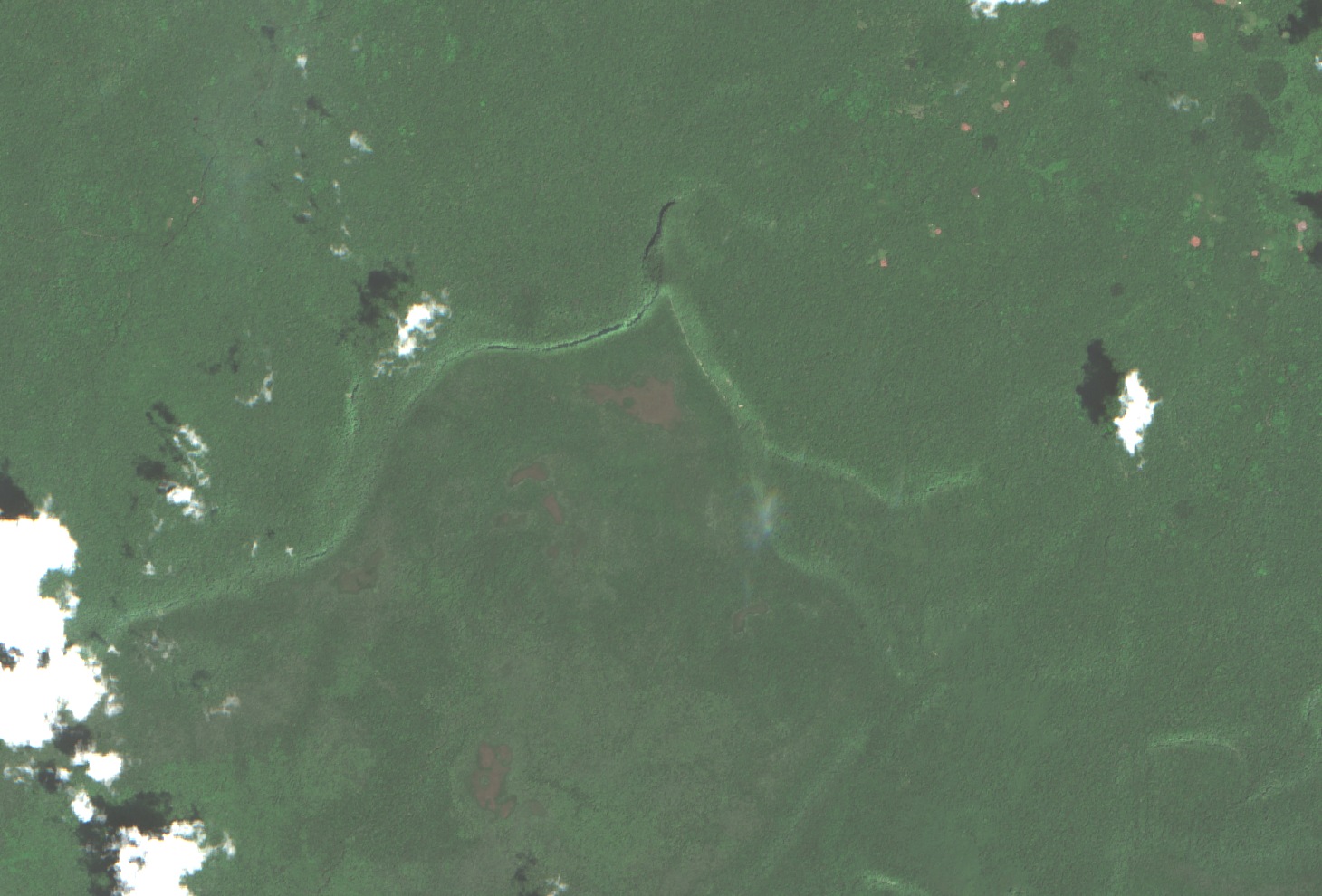
Monte Caburaí features exposed sandstone and shallow soils described in the ICMBio management plan, covered by humid forest rich in epiphytes. The range divides waters between the Amazon basin, which drains to the Atlantic via the Branco and Amazon rivers, and the Mazaruni River basin in Guyanese territory. The elevation of the highest point is recorded as 1,465 m by IBGE and 1,456 m by ICMBio.
Geodetic history and demarcation
In 1933, naval captain Brás Aguiar, leading the Brazilian Border Demarcation Commission, recorded the northernmost point in the Caburaí region. In 1998, Platão Arantes and the mayor of Uiramutã, Venceslau Brás Barbosa da Silva, organized an expedition from 3 to 6 September to reach and publicize the point. A bilateral Brazil–Guyana mission confirmed the position in 2005; in 2006, IBGE surveyed geodetic station 92740, whose benchmarks B11A and BG11A mark the border on the mountain.
Flora and scientific expeditions
In November 2014, researchers from the Rio de Janeiro Botanical Garden carried out an expedition to Caburaí for herbarium collection. Among the results, the description of Paepalanthus septentrionalis in 2018 stands out: a small herb of wet grasslands whose epithet refers to the genus's most northerly occurrence in Brazil. The same expedition collected specimens of Psittacanthus lasianthus, a hemiparasite already known in Guyana and Venezuela, with the first national record published in 2021.