
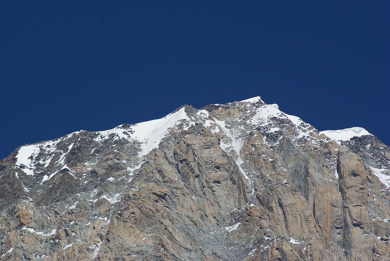
A Summit Defined by Its Ridges
The Peuterey and Brouillard ridges converge at this point along a short southeast crest of Mont Blanc, with the main summit lying to the northwest. A 1929 study by Giotto Dainelli for the Italian Royal Geographical Society, quoted by the Italian Alpine Club in 1970, traced this short southeast crest as well as the northeast and northwest watershed ridges.
Survey History and Recorded Elevations
An Italian Alpine Club study published in 1970 compared the Vallot altitude of 4,748 metres with Italian IGM readings ranging between 4,765 and 4,769 metres. The UIAA list records the summit at 4,748 metres.
The Southern Approaches and Courmayeur Guides
In 1877 James Eccles opened a route to this part of the massif from the south, a line recorded in an 1895–96 Italian Alpine Club bulletin in the context of a later exploratory variation from the Frêney glacier. The broader history of climbing on the southern flanks of Monte Bianco is closely tied to Courmayeur guides of the period, among them Émile Rey, whose activity on the Peuterey ridge and surrounding terrain between 1877 and 1893 is documented in the Treccani encyclopedia as part of an extensive sequence of first ascents on this side of the massif.