
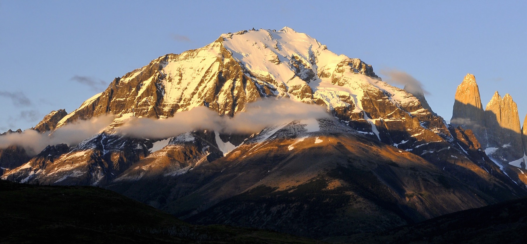
Paine Oriental in 1937
Stefan Zuck and Hans Teufel made the first documented ascent from the northeast in January 1937. They named the mountain Almirante Nieto. The same expedition included the researchers Gustavo Fester and Ricardo Jakob. Its report calls the peak Cerro Payne Este and describes pale, fine-grained veins of aplite cutting through dark Cretaceous slate.
Heat at the edge of an intrusion
The mountain stands near the eastern end of the Torres del Paine intrusion. About 12.5 million years ago, successive pulses of magma entered older sedimentary rock and cooled underground. Field sampling on Monte Almirante identified changes in the older rock caused by heat near the granite. On the east ridge, a younger basalt intrusion cuts through rock already altered by that earlier event.
The south face in 2018
On 12 August 2018, Christian Barra Muñoz and Felipe Bishara opened Línea de Libertad beneath the east summit. Barra Muñoz’s account records about 700 metres of climbing on steep ice and snow. After climbing the face, the pair crossed a hanging glacier and reached the established northeast route below the summit, where they began their descent.