
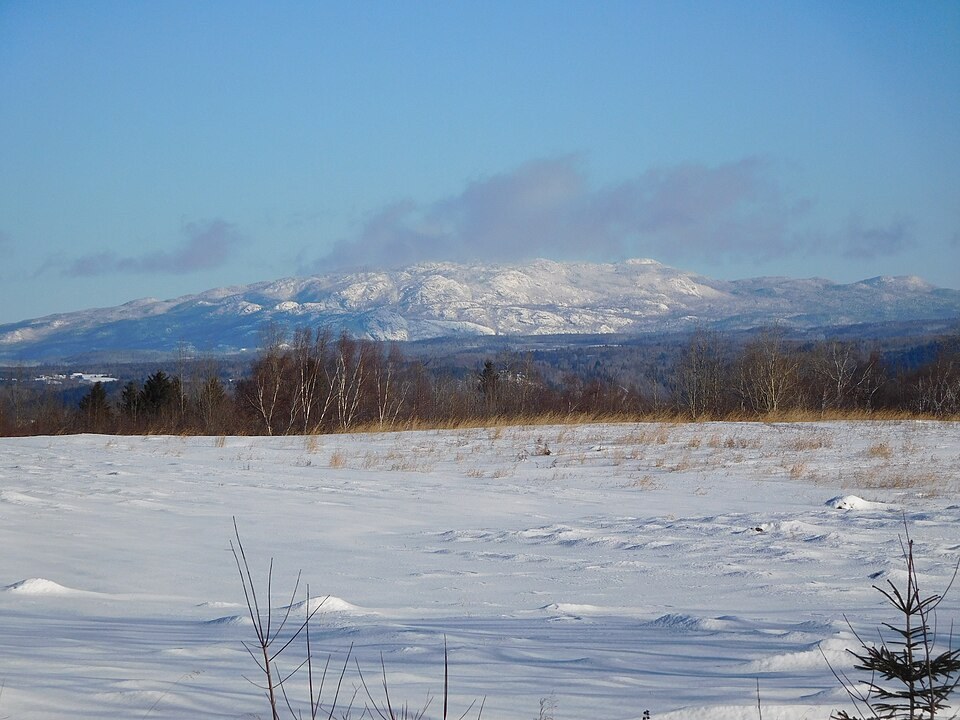
Pic Dubuc, the Survey Record, and the Name
The highest crest of Mont Valin is identified as Pic Dubuc. A 2012 Sépaq survey measured the actual peak at 984.087 metres, a figure that supersedes earlier map values; the rounded figure of 984 m reflects this measurement. The Commission de toponymie du Québec records separate official dates for the two names: Mont Valin was formally recognised in 1970, and the broader Monts Valin range name followed in 1992.
Both names derive from the Rivière Valin, which appeared in early form on maps by Laure in 1731 and by Bellin in 1744. The Commission de toponymie traces the name's progression through that cartographic record. The exact origin of the word Valin itself remains unknown.
Anorthosite Bedrock and the Saguenay Graben
The massif is composed largely of anorthosite, indicative of a deep crustal intrusion approximately 1.15 billion years ago. The escarpments of Mont Valin extend along the northern fault line of the Saguenay graben, as Sépaq notes.
Conservation History and Elevation Climate
Sépaq records early-twentieth-century logging on the valley floor and foothills, followed by conservation proposals that preceded the establishment of a provincial park in 1996 and the area's designation as a provincial national park in 2001.
High terrain is measurably colder and wetter than the surrounding lowlands. Provincial specialists have mapped distinct altitudinal forest belts across the massif, distinguishing the high-elevation vegetation zone from that of the adjacent lowlands.