
The 1950 Survey
From 20 May to 16 June 1950, at the onset of the rainy season, Maignien studied the soils of a 55-hectare agricultural station established in the Téné Valley. The report notes the geodetic point on the plateau at 1,330 metres, to the south-west of the station.
A Surface Hardened by Iron
Maignien links the plateau duricrust to the weathering of a dolérite layer, a rock of magmatic origin. The indurated surface left exposed is called bowal. Descending towards the 1,150-metre contour, over a distance of approximately 1,200 metres, he distinguished six stepped ledges. At these points, debris carried down from the plateau had been recemented by iron deposits.
What Erosion Leaves Behind
Lower on the slope, erosion had isolated a knoll within an older lower-slope duricrust. Maignien distinguished this surface from younger deposits and from the valley terraces. One of his profiles describes a terrace where groundwater begins to leave ochre mottling at one and a half to two metres depth.
The Dalaba Escarpment and Ditinn Falls
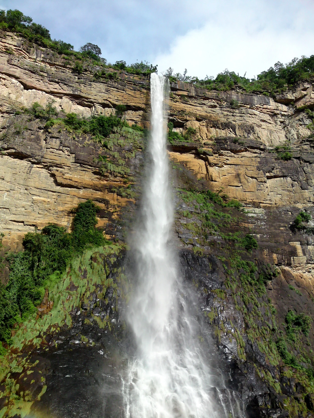
In his 2003 map, Yves Boulvert describes the broad expanse of Ordovician sandstone that dominates the Téné-Ditinn basin. This sandstone escarpment is visible at Ditinn Falls, photographed in July 2013. The fall of Ley-Fita, its local name, lies on a tributary of the Téné.