
Ridge Geometry North of the Summit
From Mont Teza the Kibira crest narrows markedly as it descends northward, dropping to approximately 2300 m before the Musumba sector. This pronounced narrowing is documented in the Kibira park management plan maps archived by FAO, and shapes the ecological character of the ridge corridor between the two zones.
Woody Plant Surveys at Teza, 2021
In August and November 2021 the Burundian Office for Environmental Protection conducted two field surveys in the collines surrounding Teza, examining woody plants used by neighboring communities. Researchers worked alongside local participants to document species and their practical applications, producing a site report published in 2022 through Burundi's CHM-CBD biodiversity portal.
Tea Cultivation at the Forest Edge
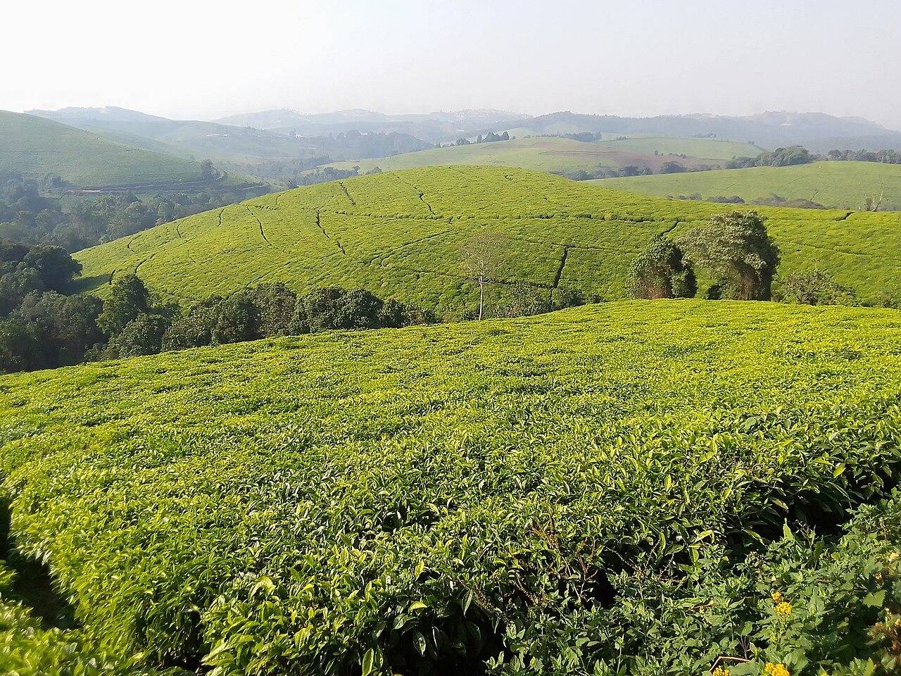
Tea plantations at Teza and at Rwegura occupy land adjacent to the park boundary, visible where the montane forest meets cultivated slopes. Burundi's tourism ministry identifies both sites in its official parks and reserves documentation, noting their presence as a feature of the Kibira landscape distinct from the interior forest.