
Gueltas and Water in the Rock
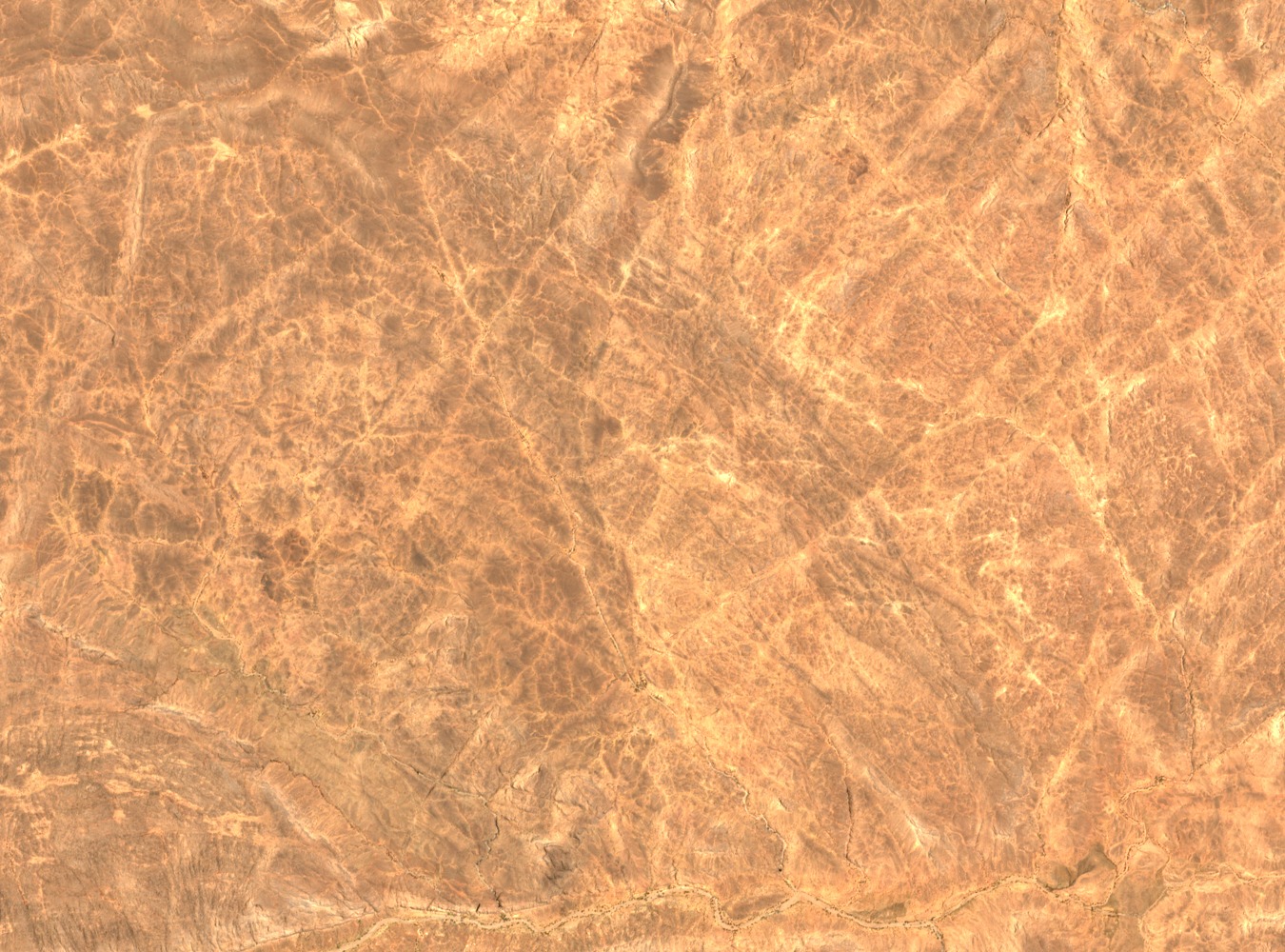
IRD field research documents gueltas — pools that form in rocky hollows and collect water from episodic flow — as a defining feature of the Tamgak massif. The same study describes associated watercourses and groundwater with careful scope. The UNESCO comparative nomination dossier lists the Tamgak pools among named guelta examples in the Aïr, recognising their role in sustaining plant communities and fauna across a landscape that receives irregular rainfall.
Vegetation Recorded by Field Research
A VertigO field study of vegetation in the Aïr Mountains documents plant communities associated with the massif's rock formations, canyon slopes, and water-retaining hollows. The canyon carved by the Kori Tamgak creates localised conditions that support species distributions examined in that research, contributing to the scientific record of how Saharan mountain flora responds to terrain and episodic moisture.
Wildlife Assessment and Local Knowledge
A 2001 rapid wildlife assessment conducted under the Niger emergency rehabilitation programme included interviews with representatives from Tamgak and neighbouring valleys, gathering local observations on fauna across the region. That work formed part of a broader Aïr and Ténéré wildlife count and recovery effort. The Getty Research Institute geographic record and UNESCO documentation together confirm Tamgak as a named and studied locality within this internationally recognised protected landscape.